Getting Around Honolulu on Foot, by TheBus and by Rail
How the city is laid out
Honolulu runs along the south shore of Oʻahu for miles, and it is best understood as a string of districts rather than one center. At the eastern end is Waikīkī, where most visitors stay. In the middle are the shopping center and beach park at Ala Moana and the new towers of Kakaʻako. At the western end are downtown, the Capitol District and Chinatown, beside the harbor. Behind them, residential valleys climb toward the Koʻolau ridge.
Each district is compact and easy on foot. The distances between them are what need a bus. A typical day might start with a walk around Waikīkī, take TheBus downtown to the palace and Chinatown, and come back along the shore by bike or bus in the afternoon.
Walking
Walking is the best way to see Waikīkī, the Capitol District and Chinatown. Waikīkī is a narrow strip between the Ala Wai Canal and the ocean, crossed in minutes, and Kalākaua Avenue and the beach walk run its length. The Capitol District is a few blocks square: ʻIolani Palace, Aliʻiōlani Hale, the State Capitol and Kawaiahaʻo Church are within sight of each other, and Chinatown and Aloha Tower are a short walk further.
The shore between them makes a long but pleasant walk: from Waikīkī past the Ala Wai Harbor, through Ala Moana Beach Park and Kakaʻako Waterfront Park, toward downtown. The homepage walk follows this route. Carry water, walk in the morning or late afternoon when it is cooler, and wear sunscreen; the sun is strong even on cloudy days. Crossing the wide boulevards takes patience, so use the signals.
TheBus
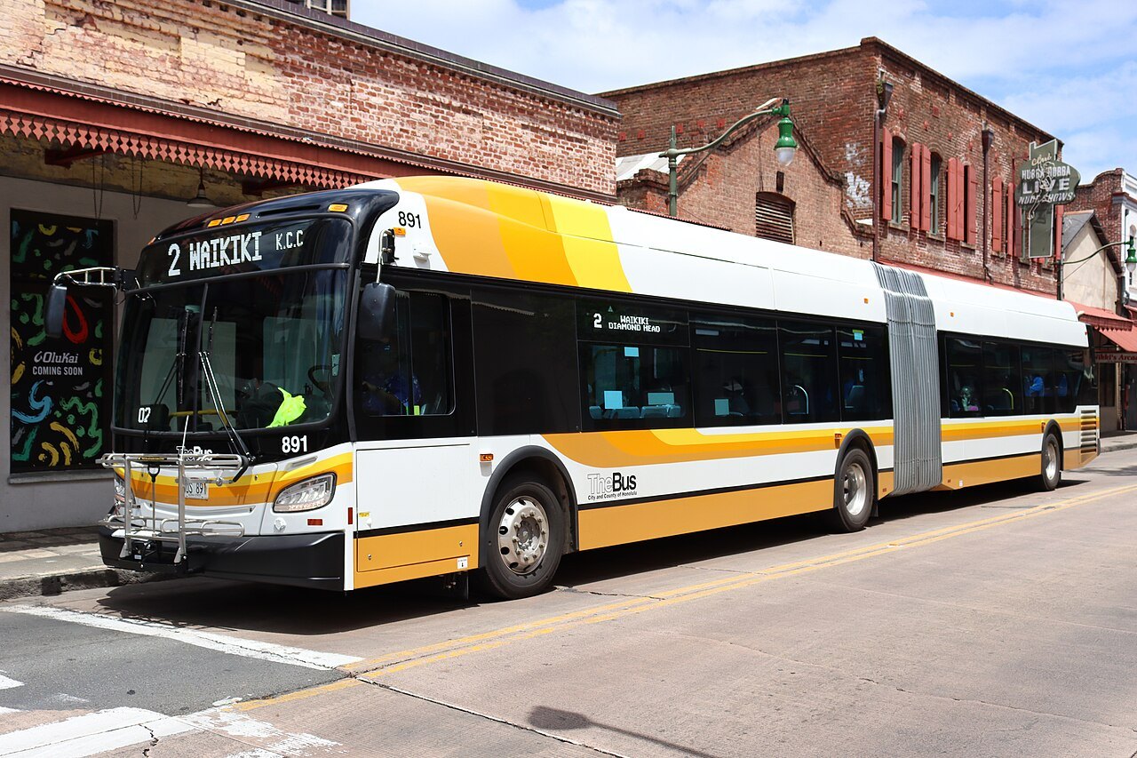
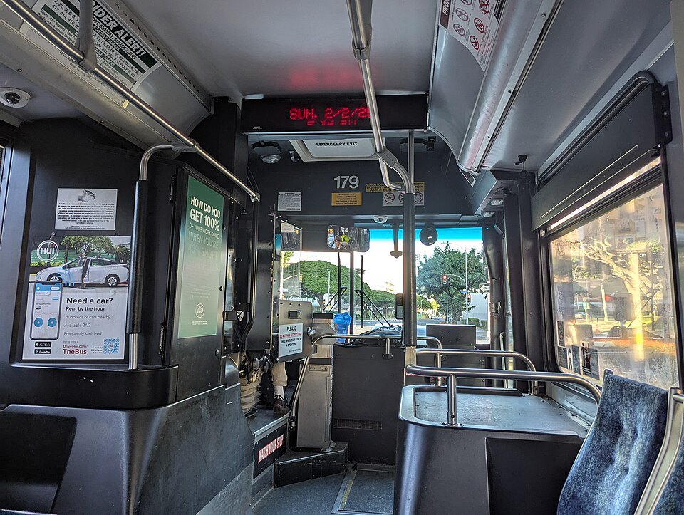
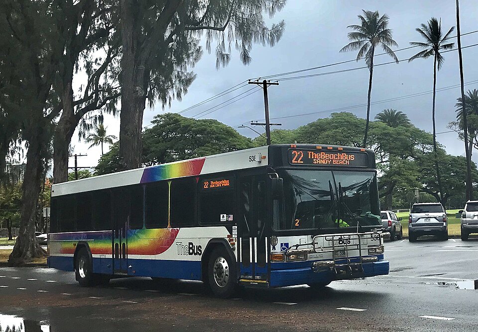
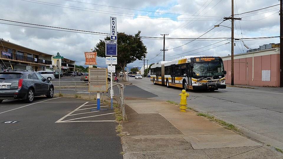
TheBus is the island's public bus system, run for the City and County of Honolulu by a nonprofit company. Measured per person, it has one of the highest ridership rates of any system in the country, with more than five hundred buses on over a hundred routes, including a few rapid lines with fewer stops. It covers the whole city and the rest of the island, so it is also how you can reach many day-trip places without a car.
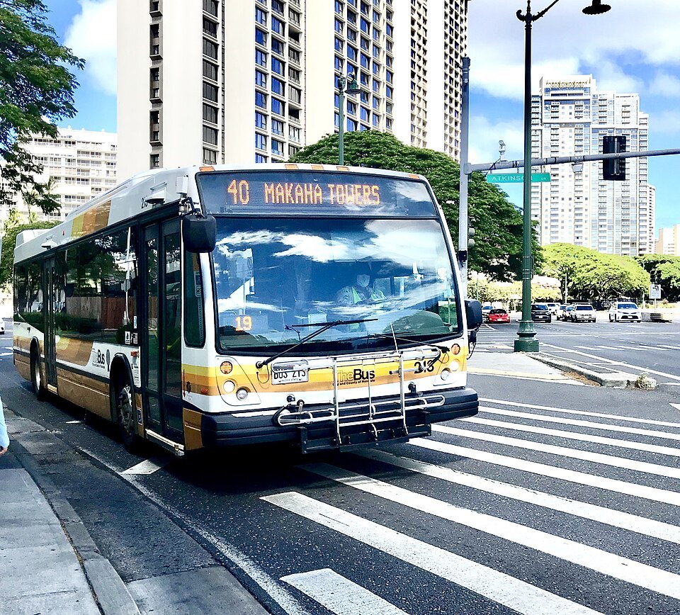
The system took the name TheBus in 1971, when the city took over the old Honolulu Rapid Transit. Its drivers wear aloha shirts, and the buses carry no outside advertising, a local rule the city has kept for decades.
Routes from Waikīkī run along Kalākaua and Kūhiō avenues to Ala Moana and on to downtown, the Capitol District and Chinatown, and up into the valleys. Many routes meet at the Ala Moana shopping center. Route names and numbers change from time to time, so plan with TheBus's own trip planner or its real-time arrival service rather than a printed guide.
Luggage is limited on board: a temporary rule since 16 October 2025 allows one standard suitcase and one carry-on bag per rider, kept by your seat. A real-time arrival service, launched as HEA, “Honolulu Estimated Arrival,” shows where each bus is.
Visitors with disabilities who cannot use the regular buses can use TheHandi-Van, the paratransit service that runs alongside TheBus. Registration is required and every ride has to be reserved in advance, so arrange it before you arrive; it serves places within three quarters of a mile of a bus route.
Paying: the HOLO card
TheBus and Skyline use the HOLO card, a contactless smart card. You load it with value or a pass, then tap it on the reader when you board a bus or at a Skyline fare gate. Cash is still accepted on the bus, but paper passes were withdrawn in 2021, and the card gives you two things cash does not.
First, transfers: if you board another bus or a train within two hours, you are not charged again. Second, fare capping: once the fares you have paid in a day add up to the price of a day pass, the rest of your rides that day are free, and the same happens over a month. So a visitor never needs to decide in advance whether a pass is worth it. Cards can be bought and loaded at retail shops around the city, online or by phone; registering a card online lets you recover its balance if you lose it.
Skyline
Skyline, the elevated rail line, runs without drivers from East Kapolei on the ʻEwa plain through Pearl Harbor and past the airport to Middle Street in Kalihi, where it meets the buses. The section through downtown and Chinatown to Kakaʻako is being built and is planned to open in 2031. For now it is useful to visitors mainly for the airport and for Pearl Harbor, which is a day trip from the city; the trains have luggage racks, and the HOLO card works at the gates.
Biki bikes
Biki is Honolulu's bike-share system, run by a nonprofit and launched in 2017. It has more than a thousand bikes at over a hundred and thirty stations stretching from Iwilei, west of downtown, to Diamond Head, about five minutes' walk apart across the city's core. You sign up at a station kiosk or online, take a bike from any station and return it to any other.
It suits short hops: along the shore from Waikīkī to Ala Moana and Kakaʻako, or around downtown. Ride on the protected lanes where they exist, use lights after dark, and remember that you share the road with heavy traffic on the boulevards.
Taxis, rides and cars
Taxis and app-based ride services are widely available and are the practical choice late at night, with luggage, or for places the buses reach slowly, such as the Tantalus lookout and Punchbowl. Agree on the destination before you set off.
A car is rarely worth it for the city itself: traffic is heavy at rush hours, parking downtown and in Waikīkī takes planning, and most sights are reachable without one. It is worth renting one for a day or two to see the rest of Oʻahu, from the windward coast to the North Shore, as described on day trips. For arriving from the airport, see getting here.
Some links on this page are affiliate links. If you book through one we may earn a commission, at no extra cost to you. It does not affect what is recommended here, and no sight page on this site carries one.
For the days you leave the city, and the hours between check-out and a flight:
More photographs
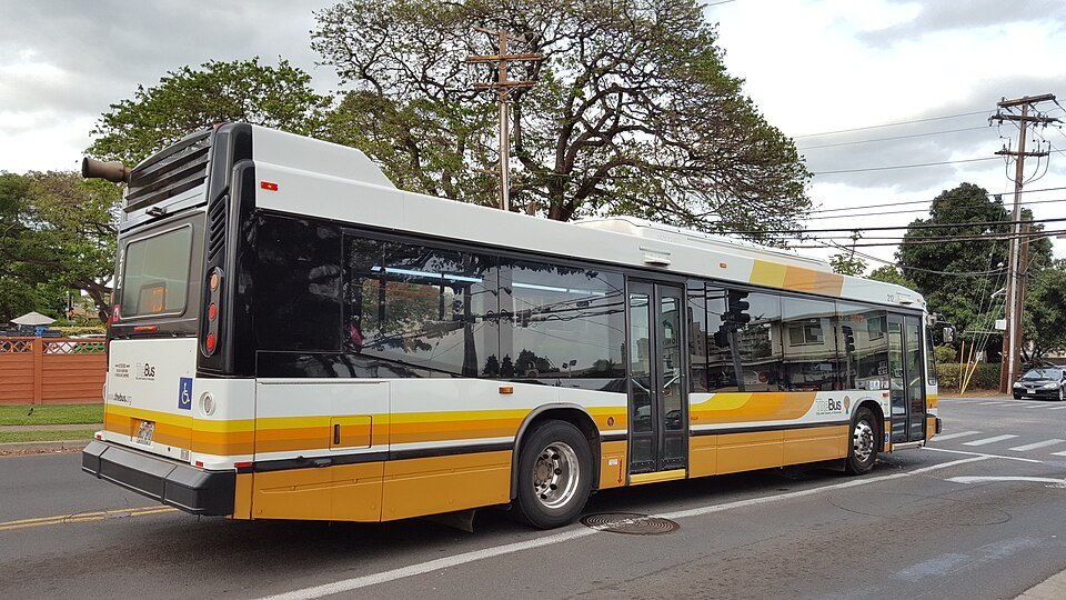
A TheBus coach in the gold, white and dark-blue livery123TheBusHonolulu6969, Wikimedia Commons, CC BY-SA 4.0