Honolulu is one side of one island. A day out takes you to the memorials of Pearl Harbor, the snorkeling bay of Hanauma, the windward cliffs and beaches, or the surf towns of the North Shore. Four trips, what each involves, and how to go.
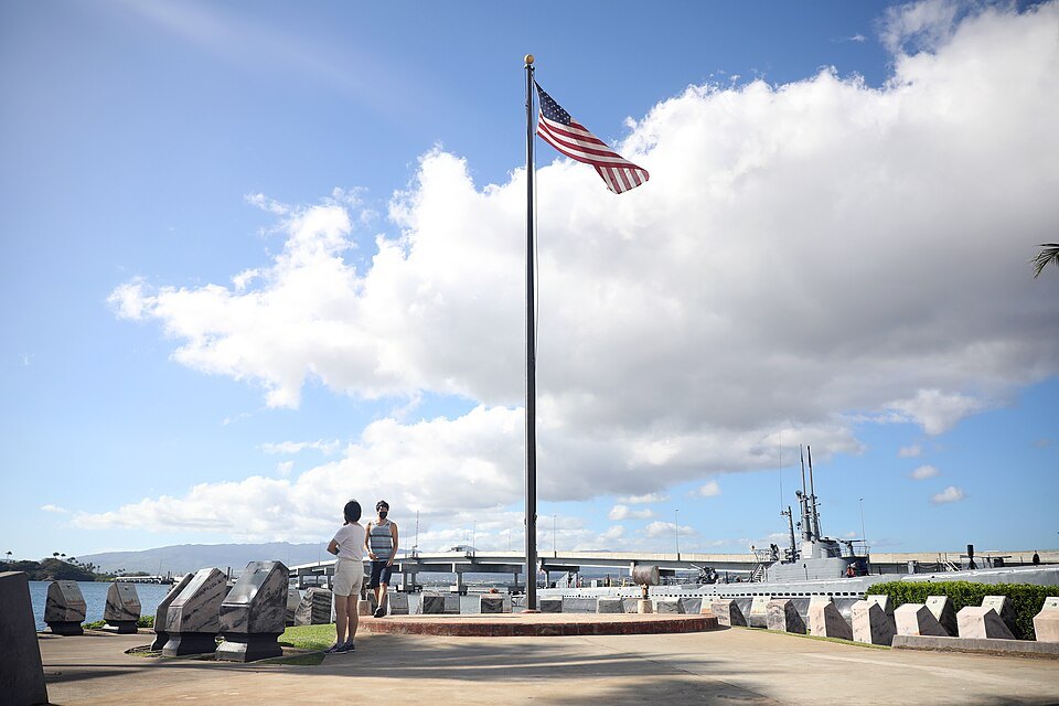
The flagpole and memorial stones on the shore at Pearl HarborGage Skidmore from Surprise, AZ, United States of America, Wikimedia Commons, CC BY-SA 2.0West of the airport; by car, tour or bus, or Skyline to its Pearl Harbor stationPearl Harbor National MemorialThe memorials to the attack of 7 December 1941, with the USS Arizona Memorial over the sunken battleship.
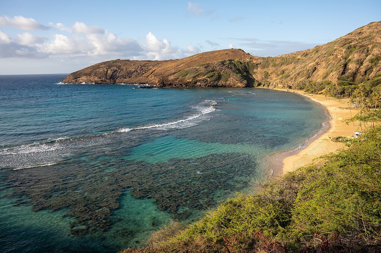
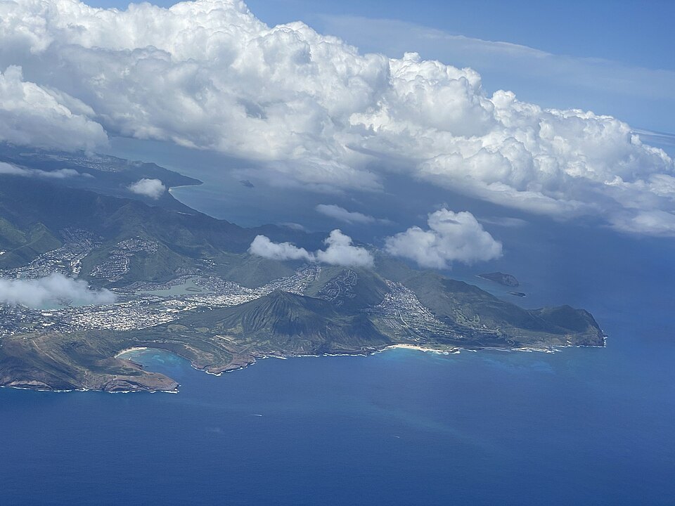
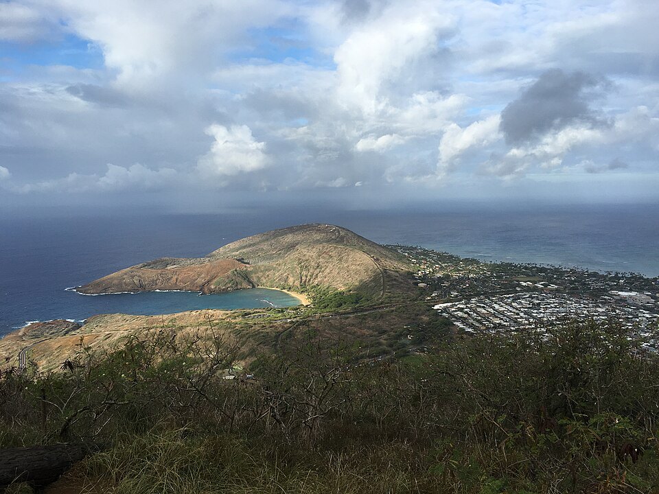
Hanauma Bay and Koko Crater from the air, the southeast tip of OʻahuSteven Pavlov, Wikimedia Commons, CC BY-SA 4.0East of the city past Hawaiʻi Kai; by car, bus or tourHanauma Bay and the southeast coastA snorkeling bay inside an old volcanic crater, with Makapuʻu Point and its lighthouse beyond.
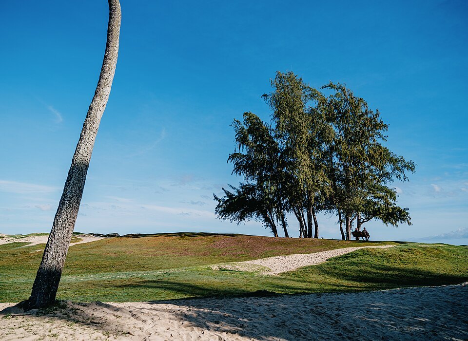
Ironwood trees above the sand at Kailua Beach ParkTony Webster, Wikimedia Commons, CC BY 2.0Over the Koʻolau by the Pali Highway, or around the east end; best by carThe Pali and the windward coastThe lookout on the cliffs where Kamehameha I won Oʻahu, and the beaches of Kailua and Lanikai below.
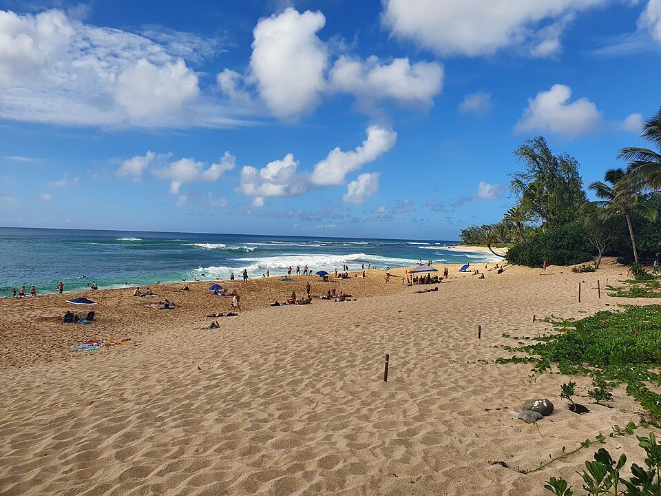
The wide sand of the North Shore, with the winter surf breakingSyced, Wikimedia Commons, CC0Across the center of the island to the north coast; by car or busThe North ShoreHaleʻiwa's plantation-era town and the big-wave beaches of the north coast, calm in summer.
ii
In full
Day Trips From Honolulu Around the Rest of Oʻahu
Leaving the city
This site treats Honolulu as the city: the south shore from Kalihi to Kāhala, and the valleys behind it. Everything else on Oʻahu is a day trip, and some of the island's most visited places lie outside the city on purpose: the memorials of Pearl Harbor, the protected bay at Hanauma, the windward cliffs, and the North Shore. Each makes a full day. TheBus reaches all of them, but a rented car or a tour is easier for the windward and northern trips. For renting and driving, see getting around; for what to reserve, booking ahead.
Pearl Harbor
The USS Arizona Memorial, seen from the shuttle boatDestinationFearFan, Wikimedia Commons, CC BY-SA 4.0
Pearl Harbor lies west of the airport, and its memorials are run by the National Park Service as the Pearl Harbor National Memorial. The attack on 7 December 1941 killed more than 2,400 Americans and sank twelve ships, and it brought the United States into the Second World War. The visitor center at Hālawa Landing has galleries on the war in the Pacific, a theater with a film about the attack, and memorial sculpture, and it is free to enter. The memorial also includes the USS Utah and USS Oklahoma memorials, officers' bungalows on Ford Island and the mooring quays of Battleship Row. More than two million people visit the Arizona Memorial each year.
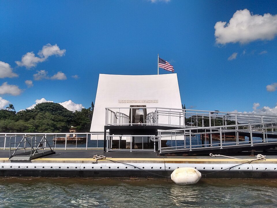
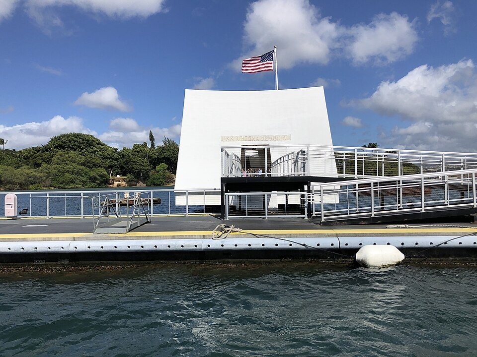
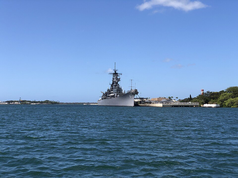
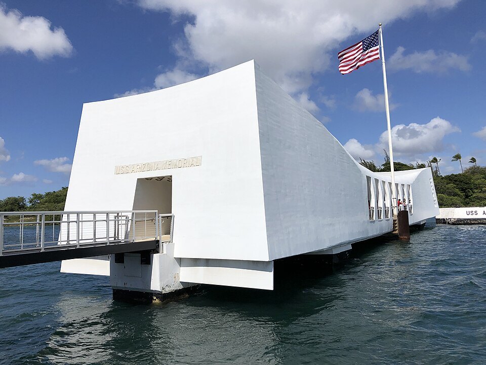
From the visitor center a boat carries visitors to the USS Arizona Memorial, built in 1962 and designed by Alfred Preis, an Austrian-born architect living in Hawaiʻi. It straddles the sunken hull of the battleship without touching it, and it marks the resting place of 1,102 of the 1,177 sailors and Marines killed on the Arizona. The boat program is reserved in advance through Recreation.gov; bags are not allowed. Nearby, the battleship Missouri, the submarine museum of the USS Bowfin and the Pearl Harbor Aviation Museum are separate attractions with their own tickets.
The white span of the USS Arizona Memorial over the sunken shipFamartin, Wikimedia Commons, CC BY-SA 4.0
This is a war grave. Keep your voice low on the memorial, dress with respect, and let the silence be what it is. Many visitors pair it with Punchbowl in the city, where many of the Pacific war dead are buried.
Hanauma Bay and the southeast coast
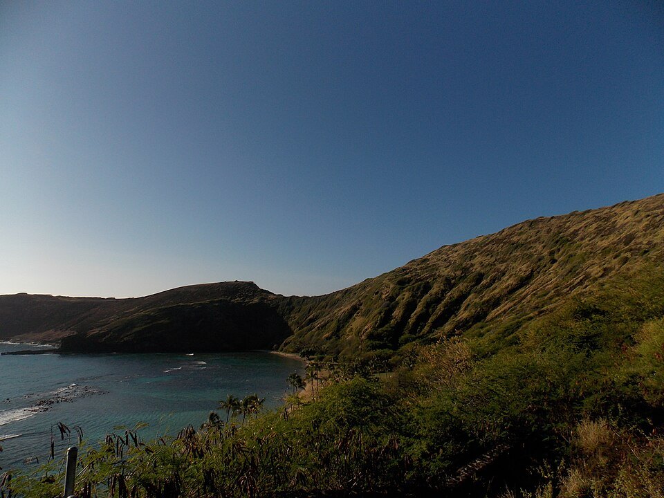
East of the city, past Hawaiʻi Kai, Hanauma Bay is a curved bay formed inside a tuff ring, an old volcanic crater opened to the sea, part of the same volcanic series as Diamond Head.
Hana means bay in Hawaiian, and the name is usually explained as “curved bay,” for its shape or for the canoes launched there, though another reading links it to a hand-wrestling game called uma. In 1956 parts of the reef were blasted with dynamite to lay telephone cables to the mainland. It is the island's most famous snorkeling spot and once drew more than three million visitors a year, more than it could bear; today it is a nature preserve with limits on numbers. Visitors who are not residents reserve admission online through the city two days ahead, every visitor watches a short film on protecting the reef, and the preserve shuts two days a week.
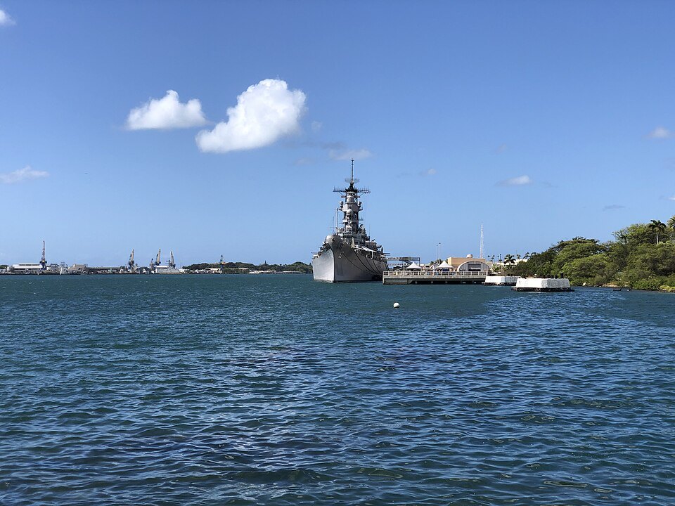
The battleship Missouri, moored off Ford IslandFamartin, Wikimedia Commons, CC BY-SA 4.0
The bay itself lies within the Hawaiʻi Kai neighborhood of East Honolulu, just beyond this site's city line, and the coast beyond it is wilder. The coast road continues past lookouts to Makapuʻu Point, the easternmost point of Oʻahu, twelve miles east of Honolulu. A popular trail climbs to views of Waimānalo Bay and, in winter, of whales offshore, and its lighthouse of 1909 holds one of the largest Fresnel lenses in the world. The beaches along this coast, such as Sandy Beach and Makapuʻu, are known for dangerous shorebreak; admire them from the sand unless the lifeguards say otherwise.
The Pali and the windward coast
The Pali Highway climbs from downtown up Nuʻuanu Valley and through tunnels, opened in 1958, in the Koʻolau cliffs. Above them, the Nuʻuanu Pali State Wayside looks out over the windward side: Kāneʻohe Bay, Kāneʻohe and Kailua far below. The cliffs here were the site of the Battle of Nuʻuanu, one of the bloodiest in Hawaiian history, in which Kamehameha I conquered Oʻahu in 1795. The lookout is famous for strong winds funneling through the pass; hold on to hats and phones. The Old Pali Road, the route before the tunnels, is now a walking path.
Below, the town of Kailua has one of the island's best-loved beaches. Kailua Beach slopes gently into deep water without coral heads, and steady trade winds make it a center for windsurfing and kitesurfing; the first world windsurfing champion, Robby Naish, grew up here. Inland are Kawainui Marsh and the Maunawili Falls trail. Next to it is Lanikai Beach, known in Hawaiian as Kaʻōhao, fronting a residential neighborhood. Come early, park legally and keep noise down on the residents' streets.
The North Shore
The USS Missouri seen across the harbor from the memorialFamartin, Wikimedia Commons, CC BY-SA 4.0
The North Shore runs along the island's north coast between Kaʻena Point and Kahuku. Its largest town, Haleʻiwa, keeps the character of an old plantation town in many of its buildings, with a small boat harbor, beach parks on its bay and a bridge over the Anahulu Stream. It is the place for lunch, shave ice and a walk, and it is popular with residents as well as visitors.
The coast is known for massive winter waves that draw big-wave surfers from around the world: in winter, storms in the North Pacific make Waimea Bay, the Banzai Pipeline and Sunset Beach premier surf breaks, and the surf can flood the coast road. In summer, Waimea is often clear and calm, and even in winter surf schools teach beginners in coves sheltered from the big waves. In winter, watch from the sand; only experts belong in the water, and the lifeguards will tell you so.
Planning the day
The USS Arizona Memorial and its flag, from the waterFamartin, Wikimedia Commons, CC BY-SA 4.0
Choose one trip per day; distances are short on a map but the roads are busy. Leave early, carry water and sunscreen that follows the state's reef rules (see the ocean), and check the weather: the windward side and the mountains get more rain than the city. Take everything out with you, stay off private land, and treat the island's beaches as someone's home, because they are.
Some links on this page are affiliate links. If you book through one we may earn a commission, at no extra cost to you. It does not affect what is recommended here, and no sight page on this site carries one.