Home · Sights · Ala Moana Beach Park and Magic Island
Ala Moana Beach Park and Magic Island
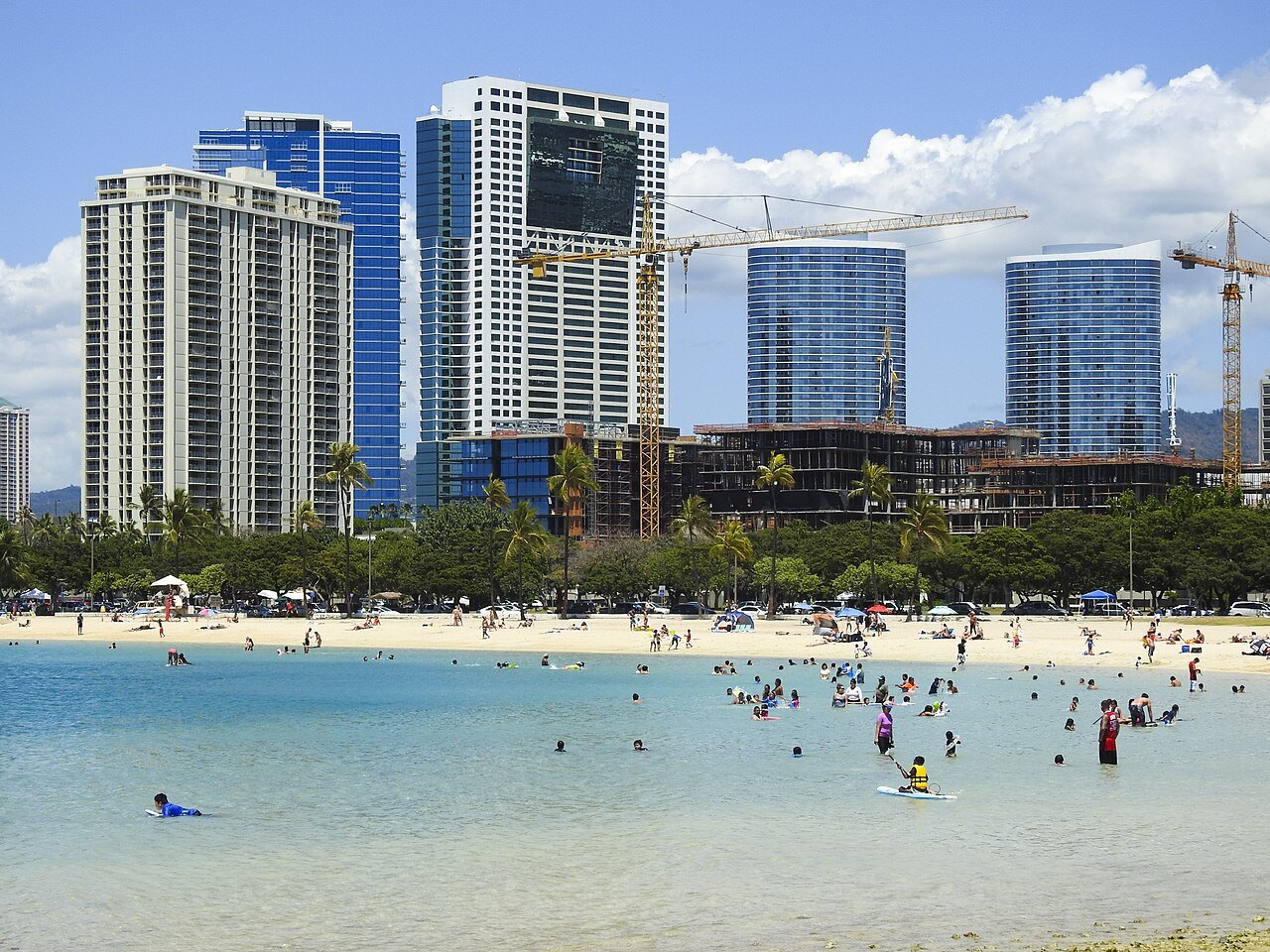
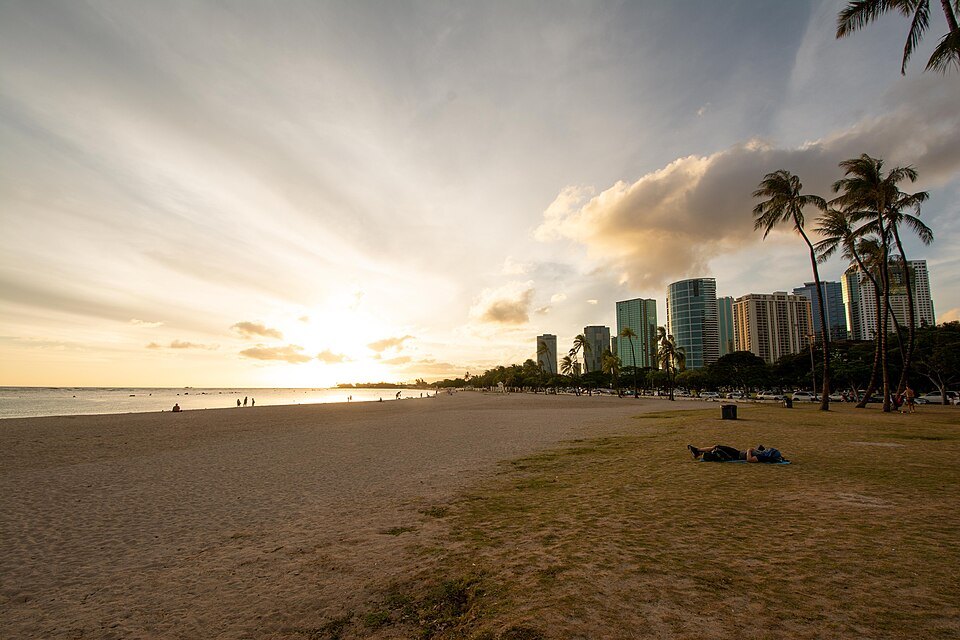
- iThe half-mile beachA wide gold-sand beach, protected by a shallow reef offshore, created in 1954.
- iiThe swimming channelA deep strip of water in front of the sand, a boat channel dredged through the reef in the 1920s.
- iiiMagic IslandA peninsula of coral fill at the Waikīkī end, with a sheltered lagoon and a path around its tip.
- ivThe banyans and lawnsBig grassy areas under banyans and palms, where the city picnics, runs and plays.
- vThe 1930s pavilionA sports pavilion and banyan court of the New Deal years, with murals and bas-reliefs.
- viThe view to Diamond HeadFrom the tip of Magic Island, Waikīkī's towers and Diamond Head fill the eastern view.
Reading the place
Why it matters
Ala Moana Beach Park is where Honolulu goes to the beach. It lies between Kakaʻako and Waikīkī, across the boulevard from the Ala Moana shopping center, and it covers about a hundred acres with a gold-sand beach more than half a mile long. It is one of the most popular places to swim in the islands, with an estimated four million visits a year, and it is a favorite of the people who live in the city: families picnic under the banyans, runners loop the park, and on weekends the lawns fill with parties.
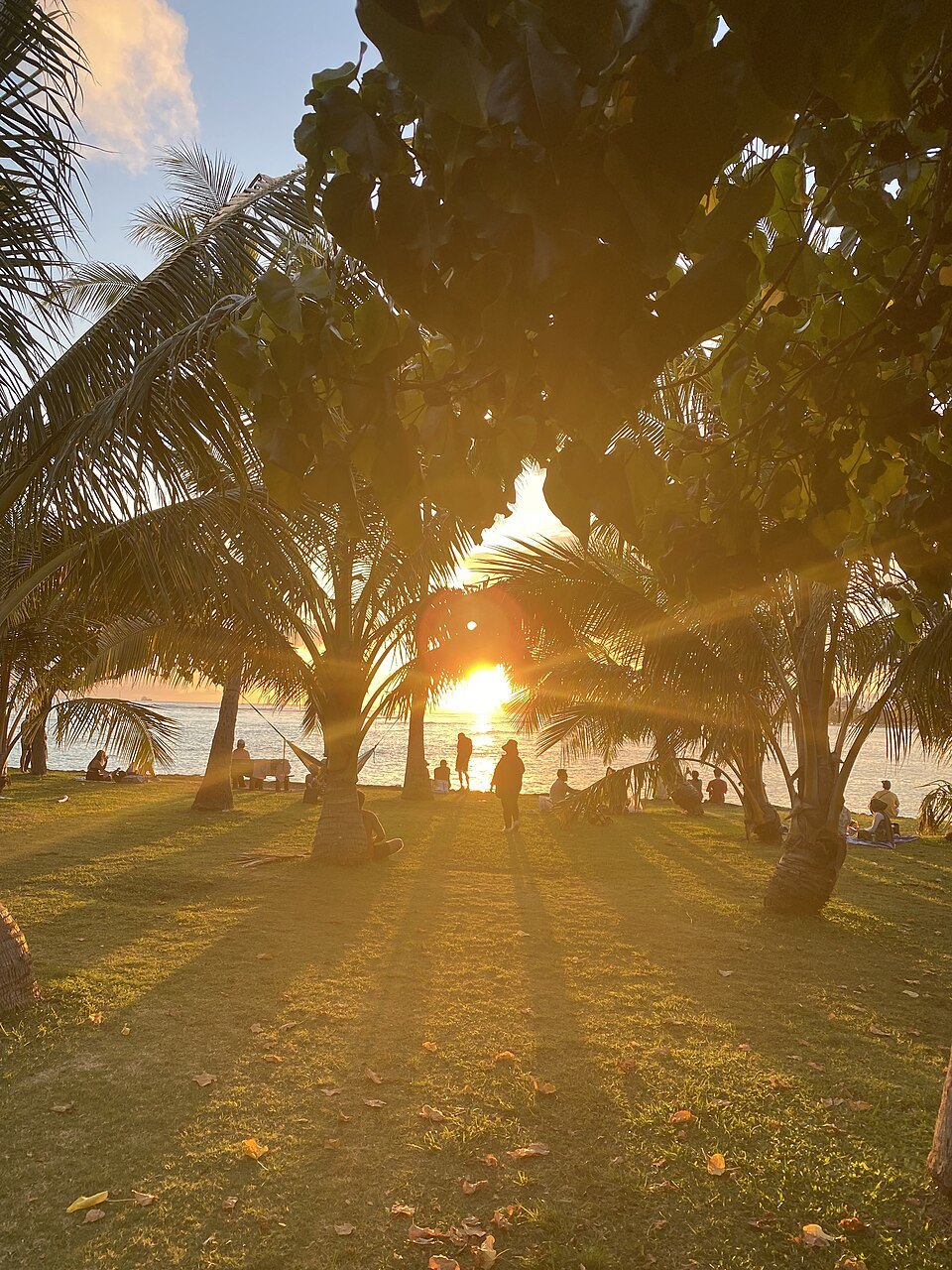
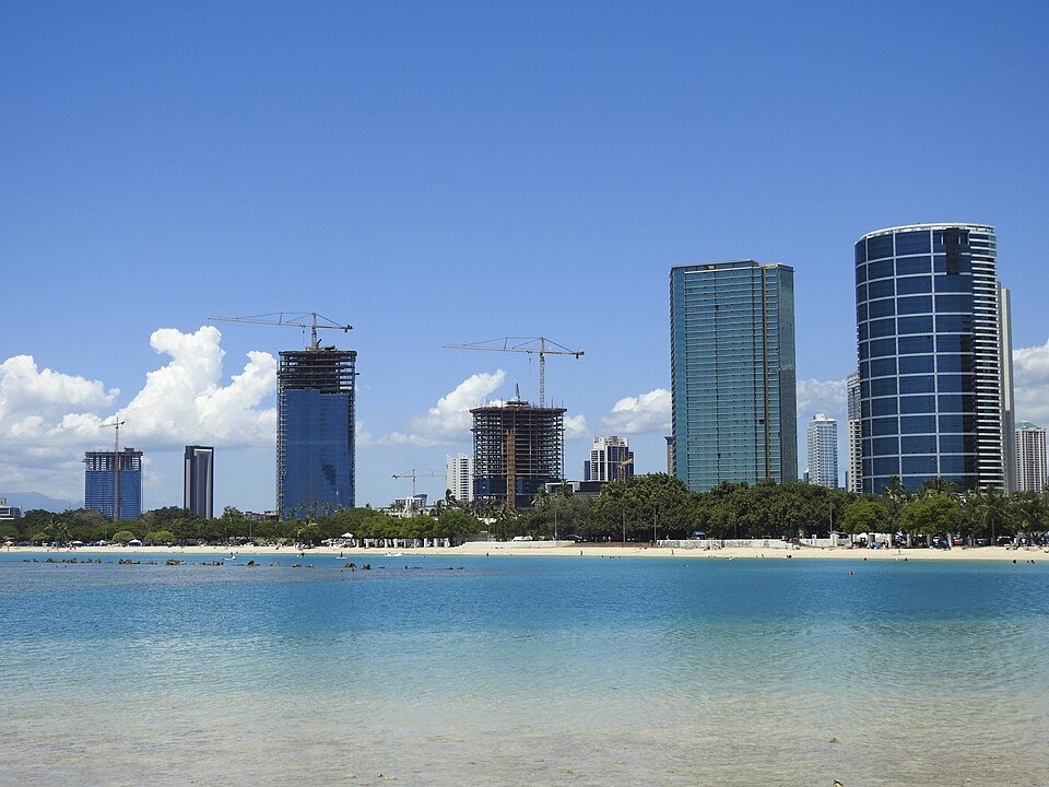
For a visitor it is the easy, local alternative to Waikīkī, and it has the best view in the city of Waikīkī itself: from the tip of Magic Island the whole curve of the shore, the towers and Diamond Head line up across the water.
A park made from a dump
The park stands on reclaimed land. In the 1920s this was marsh, with bulrushes, kiawe trees and coconut palms, and the city used it as a garbage dump. After the land passed back from the federal government to the territory and then to the city in 1927, on condition that it be used entirely as a public park, the Parks Board named it Moana Park in 1931 and began to build. A dredging company filled the marsh with its dredgings, much of it coral from the reef.
In the 1930s the park gained a sports pavilion, a lawn bowling green, a banyan court and bridges, many of them built as New Deal projects with federal labor and a local technique called concrete boulder construction. The pavilion has murals and bas-reliefs by the artist Marguerite Louis Blasingame, and more murals by Robert Lee Eskridge. During the Second World War the military used the park as a staging area and gun battery. In 1947 it was renamed Ala Moana, “path to the sea.”
The beach and the channel
The beach itself was only created in 1954. The deep water in front of it is not natural: it is a boat channel, twenty to thirty feet deep and a thousand yards long, dredged through the coral reef in the late 1920s to link Kewalo Basin with the Ala Wai Harbor. In 1955 its western end was closed with fill, which is now Kewalo Basin Park.
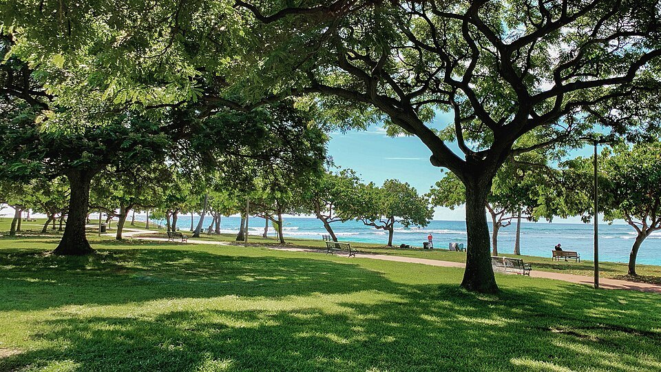
That history explains how the beach behaves. The shallow reef offshore protects it from surf, so the water is usually calm, but the bottom drops off quickly into the old channel, so the water is out of a beginner's depth a few steps from the sand. The middle and western parts of the beach have rocks and sharp coral underfoot; the eastern end, nearer Diamond Head, has a sandy bottom and is where most people prefer to swim.
Magic Island
In 1962 developers built Magic Island by reclaiming thirty acres of shallow reef. It was meant to be the first of three artificial islands for a resort hotel complex off the park. After a public outcry the project stopped after the first, and the state turned the peninsula into a public park. In 1972 it was officially renamed ʻĀina Moana, “land from the sea,” for the coral fill it is made of, but almost everyone still calls it Magic Island.
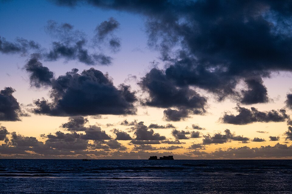
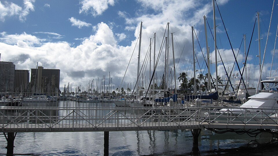
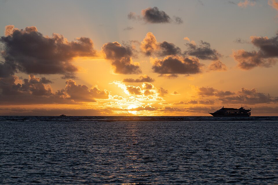
The peninsula has a lawn shaded by trees, a walk around its seawall, and a small lagoon inside a breakwater. Its tip looks east along the shore to Waikīkī and Diamond Head, and in the evening it is a popular place to watch the sun go down. The Ala Wai Harbor, full of sailboats, lies just beyond it.
The park the city uses
Behind the beach, the park is laid out in lawns, ponds and canals made by the same dredging, crossed by small bridges of the 1930s. McCoy Pavilion, added in 1975 on the Diamond Head side of the central courtyard and named for the man who oversaw the park's creation, holds community events through the year, among them a Greek festival and a Scottish festival with Highland games. There are tennis courts, a lawn bowling green, a music pavilion, and canoe clubs that launch from the shore.
The park was added to the Hawaiʻi State Register of Historic Places in 1988. Its future is argued over as keenly as its past: city plans for new parking, sand replenishment, a dog park and a playground have drawn so much public comment that they have been amended more than once, and a plan of 1975 to ban cars from the park's roads never came to pass. Residents care about this park, and it shows.
How to visit
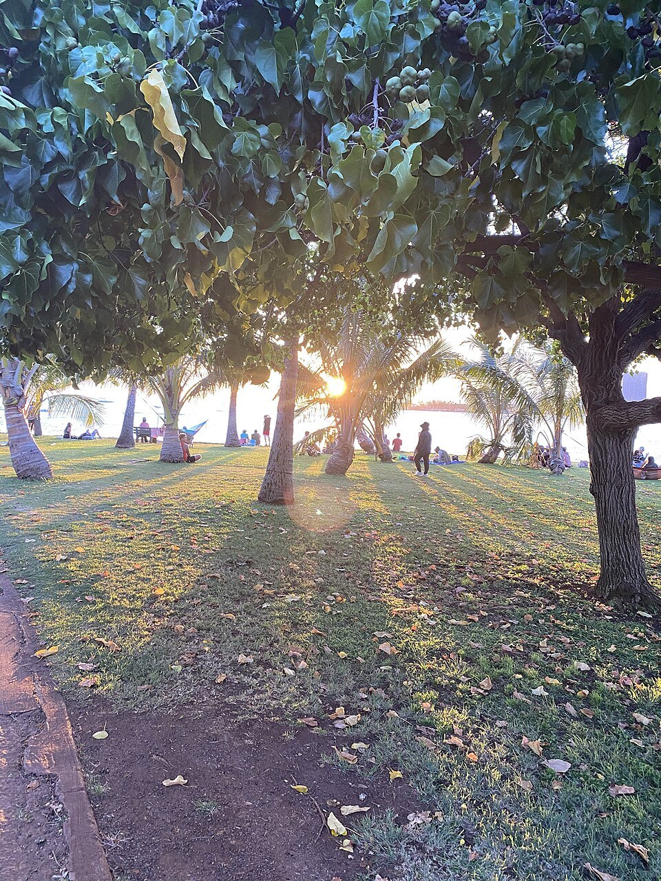
The park is free. Lifeguards are stationed on the beach every day, and there are showers, restrooms, picnic tables and food concessions. Swim near a lifeguard, choose the sandy eastern end or the Magic Island lagoon, and read the posted signs; the ocean page explains them. The park closes overnight, and police enforce the closure.
From Waikīkī it is a walk along the shore past the Ala Wai Harbor or a short bus ride, and since 2025 a footbridge over Ala Moana Boulevard links the park with Kakaʻako. The homepage walk passes through here between downtown and Waikīkī; see getting around for the buses.
Honest notes
At night the park has had a reputation for trouble, and the city began closing it overnight in 2006 partly because of it. By day it is busy and easygoing, and it is where you will see more Honolulu families than anywhere else on this site.
Nearby
- NearbyKakaʻakoThe district between downtown and Ala Moana, a Hawaiian community of fishponds and salt pans, then an industrial zone of warehouses, and now painted with murals and rising in glass towers, with a waterfront park and a boat harbor on its shore.Read the page
- NearbyWaikīkī Beach and Kalākaua AvenueEight beaches strung between the Ala Wai Canal and Diamond Head, a long rolling surf break that taught the world to ride a longboard, and behind the sand the avenue named for a king.Read the page
- NearbyThe Honolulu Museum of ArtThe largest art museum in Hawaiʻi, opened in 1927 on Beretania Street in a low white building of courtyards and tiled roofs, with more than 55,000 works and one of the great collections of Asian art in the United States.Read the page