Kakaʻako
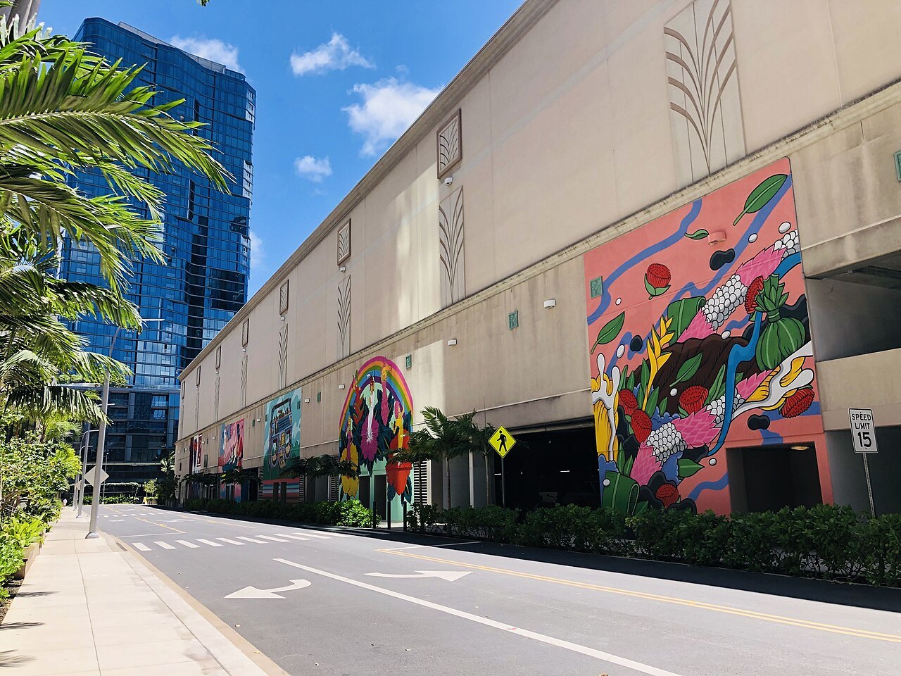
- iThe mural wallsWarehouse walls painted by artists from Hawaiʻi and around the world since the early 2010s.
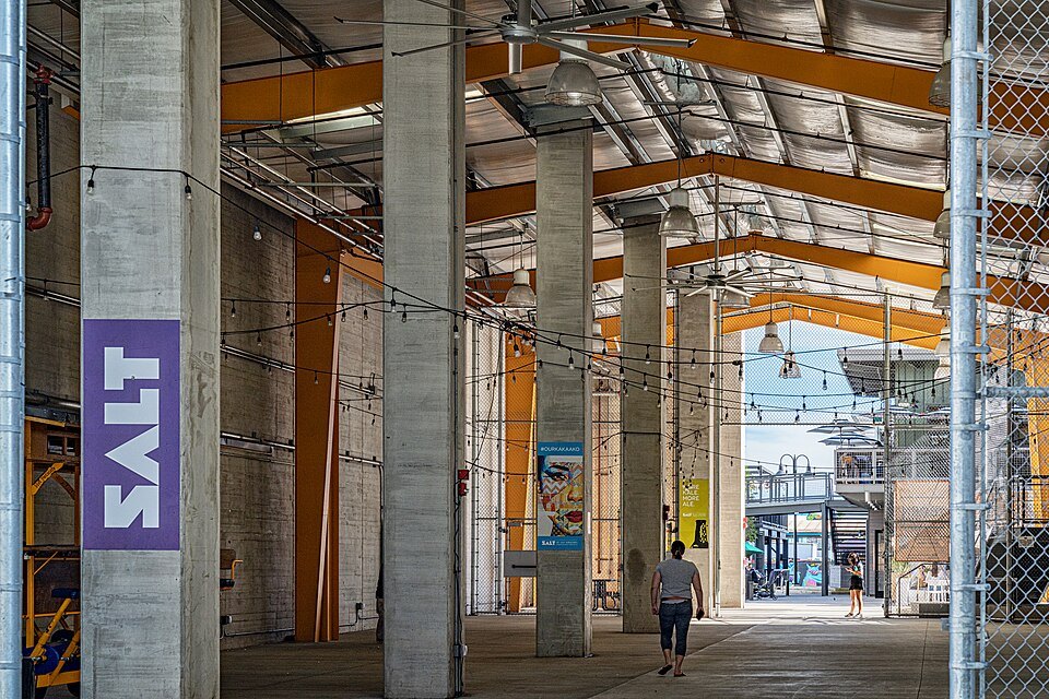
- iiSALT at Our KakaʻakoA block of converted industrial buildings with shops and cafés, run by Kamehameha Schools.
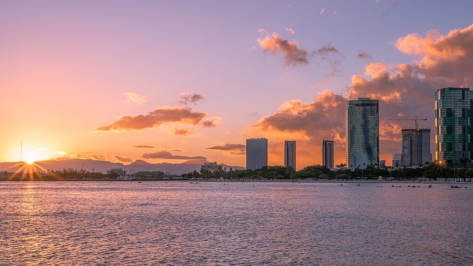
- iiiKakaʻako Waterfront ParkA grassy seaside park of low hills on the shore, with a walk along the water.
- ivKewalo BasinA small harbor for the fishing fleet and charter boats, with a beach park on its ocean side.
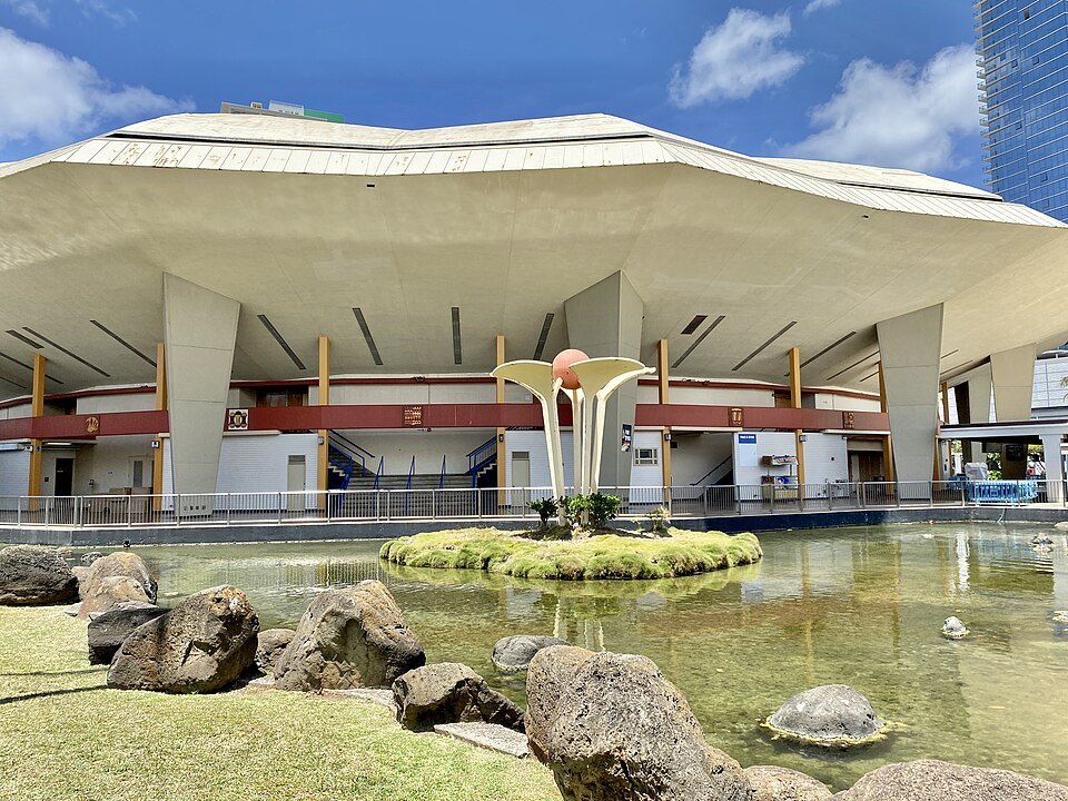
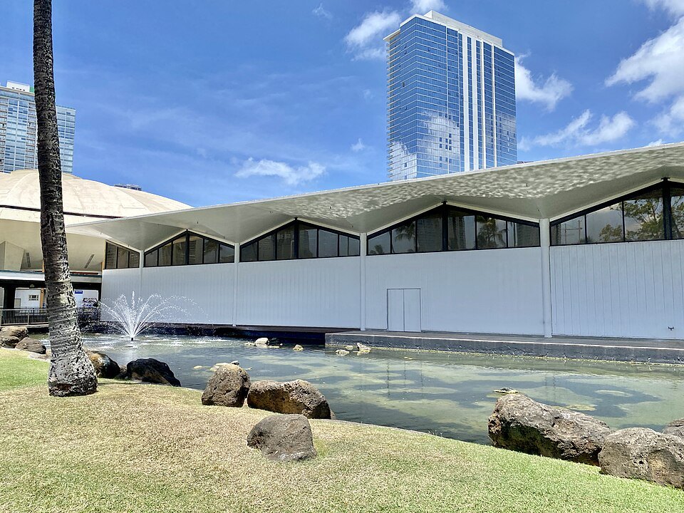
- vThe Blaisdell CenterThe city's arena and concert hall of 1964, a round-roofed landmark on Kapiʻolani Boulevard.
- viWard VillageA sixty-acre development of new residential towers, shops and open space along Ala Moana Boulevard.
Reading the place
Why it matters
Kakaʻako lies along the shore between downtown and the harbor to the west and Ala Moana to the east, and it is the part of Honolulu that has changed most in the last twenty years. What visitors come for is its street art: from the early 2010s, the walls of its warehouses were painted by muralists from the islands and abroad, and the district became an open-air gallery. Around the murals, cafés and shops have moved into the old industrial buildings, and new towers have gone up along the boulevards.
It is worth an hour's walk, preferably with a coffee, between the museums of downtown and the beach at Ala Moana; the homepage walk passes along its edge.
A Hawaiian place first
Before the warehouses, Kakaʻako was a thriving Native Hawaiian community. Hawaiians used the land here for fishponds, salt making and wetland farming, and royalty lived here: Kamehameha I had a residence in the area with his family and his chief adviser, the priest Hewahewa. The district was also a burial ground. Construction here keeps uncovering iwi, ancestral Hawaiian remains, and one site, the Honuakaha smallpox cemetery, holds more than a thousand burials.
Near the harbor, Kewalo was historically a place of sacrifice before European contact; Kamehameha I later gave the land to one of his followers, and it passed to his daughter's family. Developers of the new towers consult the island's burial council, the state's historic preservation office and Hawaiian organizations as they build.
An industrial district
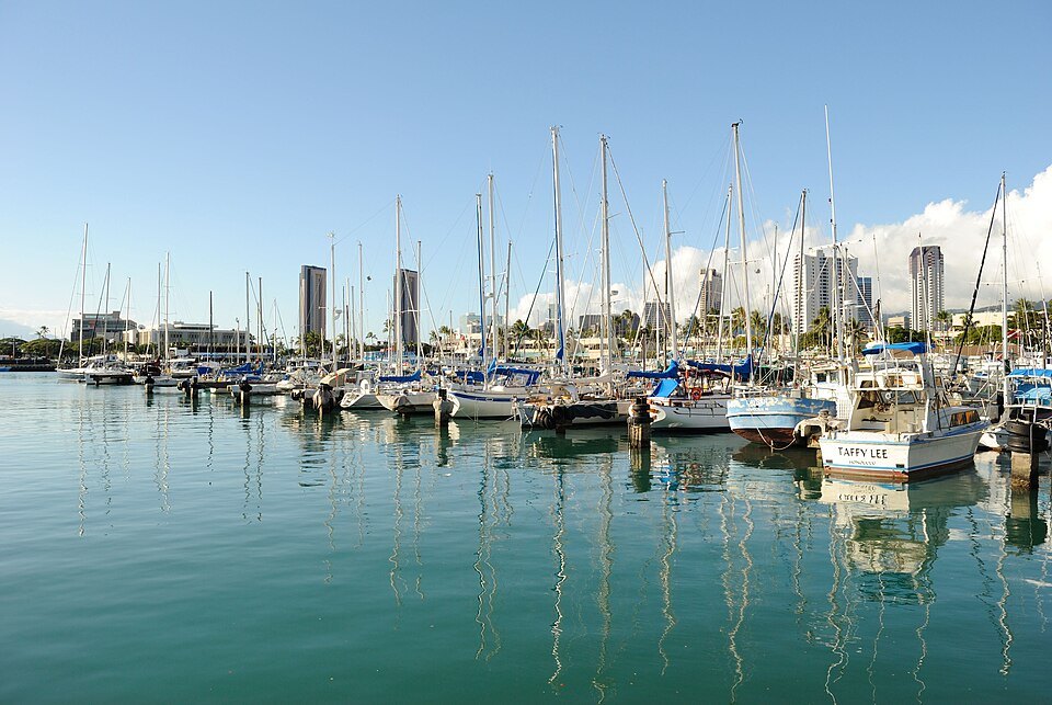
Through the twentieth century Kakaʻako filled with warehouses, workshops and small factories, and by 1976 it was an industrial district under city control. That year it became the center of a political feud between the mayor and the governor, and the state legislature created the Hawaiʻi Community Development Authority, which still decides what can be built here. Its rules allow towers far taller than elsewhere in the city, and its plans have drawn repeated protests, from residents fearing the loss of public access to the waterfront to those worried about rising rents and lost affordable housing.
The fights have been real. The authority's rules allow buildings up to 400 feet, and a transit plan would let some reach 700, twice the height allowed elsewhere in the city, while developers here can bypass the city council. In 2005 a residents' coalition, Save Our Kakaʻako, protested plans for waterfront residential towers on the makai side, and the legislature effectively killed the project. In 2014 the coalition rallied again against homes along the waterfront, fearing that the shore would become private; a trustee of the Office of Hawaiian Affairs said publicly that the office had no intention of building high-rises beside it. The open shoreline you walk today is partly the result.
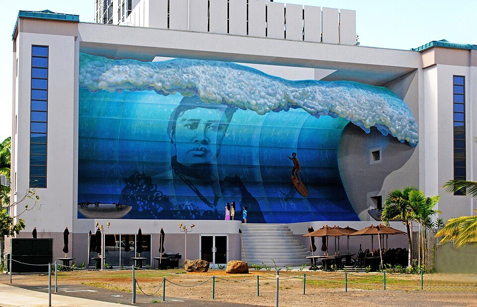
In the district's core, Kamehameha Schools, the trust founded by Princess Bernice Pauahi Bishop, is redeveloping its blocks as Our Kakaʻako; its SALT complex of converted buildings is the easiest place to start a walk. Along Ala Moana Boulevard, Ward Village, a sixty-acre master-planned community of new residential towers, shops and open space, is transforming the eastern side.
The murals
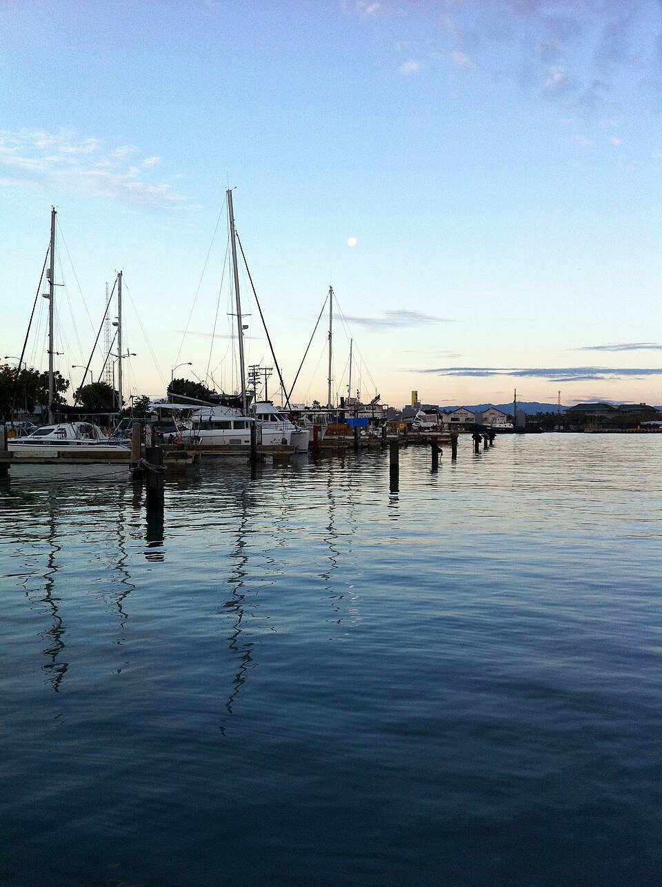
The mural movement began with POW! WOW!, a festival founded by the artist Jasper Wong, who brought it home from Hong Kong. In 2011 it held a small show in a warehouse in what was then a forgotten industrial part of the city, and it grew into an annual mural festival that paints new walls every year, bringing artists from across the Pacific and beyond. Walls are repainted from year to year, so the murals you see change with each festival.
Some of the paintings are enormous, covering whole sides of buildings; others are small, tucked into alleys and loading docks. Kamehameha Schools and other landowners support the festival and commission walls. Walk the blocks around SALT and Ward Avenue and look down the side streets.
The shore
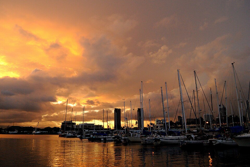
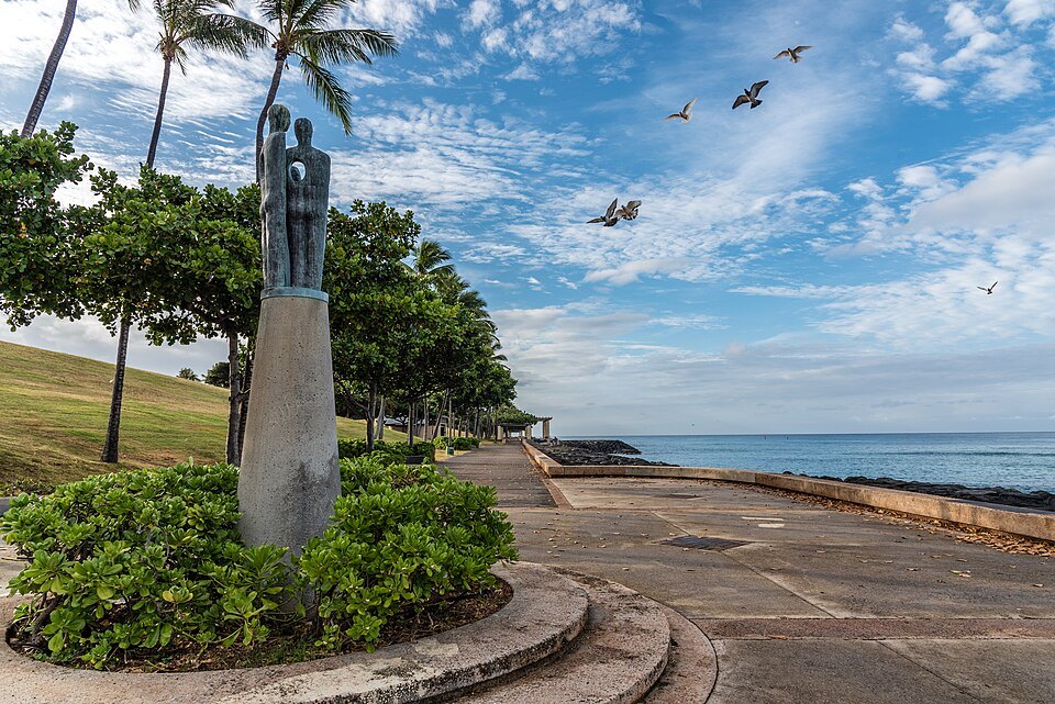
On the ocean side of the district, Kakaʻako Waterfront Park is a grassy park of low hills built on the shore, with a promenade along the water and views out over the reef toward Diamond Head and along the harbor mouth. It holds a memorial to the victims of the Ehime Maru incident, the sinking of a Japanese fisheries training ship. Next to it is Kewalo Basin, a small harbor for the city's commercial fishing fleet and for charter and excursion boats, with a beach park on its ocean side beside Ala Moana.
The waterfront also holds the medical school of the University of Hawaiʻi and its cancer research center. Inland, the Neal S. Blaisdell Center, the city's arena, concert hall and exhibition hall, was built in 1964 on the old Ward Estate; the city has long discussed rebuilding it.
How to visit
Kakaʻako is flat and walkable, and best seen on foot in the morning or late afternoon. Buses on Ala Moana and Kapiʻolani boulevards run through it from Waikīkī and downtown, and since 2025 a footbridge over Ala Moana Boulevard links it with Ala Moana Beach Park; see getting around. The murals are on private buildings: photograph them from the street, and do not climb or enter lots and loading areas.
When the Skyline rail line's downtown section opens, planned for 2031, its line is due to end in Kakaʻako. For more of the city's food and drink, much of it now in these blocks, see eating and drinking.
Nearby
- NearbyAla Moana Beach Park and Magic IslandA hundred acres of lawn, banyans and a half-mile of gold sand between downtown and Waikīkī, laid out on filled marsh in the 1930s, with a peninsula of reef fill added in 1962 that the city still calls Magic Island.Read the page
- NearbyAloha Tower and the HarborA ten-story lighthouse and clock tower at Pier 9, dedicated in 1926 and for four decades the tallest structure in Hawaiʻi, standing over the harbor the city is named for.Read the page
- NearbyThe Honolulu Museum of ArtThe largest art museum in Hawaiʻi, opened in 1927 on Beretania Street in a low white building of courtyards and tiled roofs, with more than 55,000 works and one of the great collections of Asian art in the United States.Read the page