Home · Sights · Tantalus and Puʻu ʻUalakaʻa
Tantalus and Puʻu ʻUalakaʻa
- iThe Tantalus loopTantalus Drive and Round Top Drive, a six-mile loop road of hairpin bends through forest.
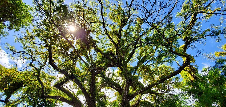
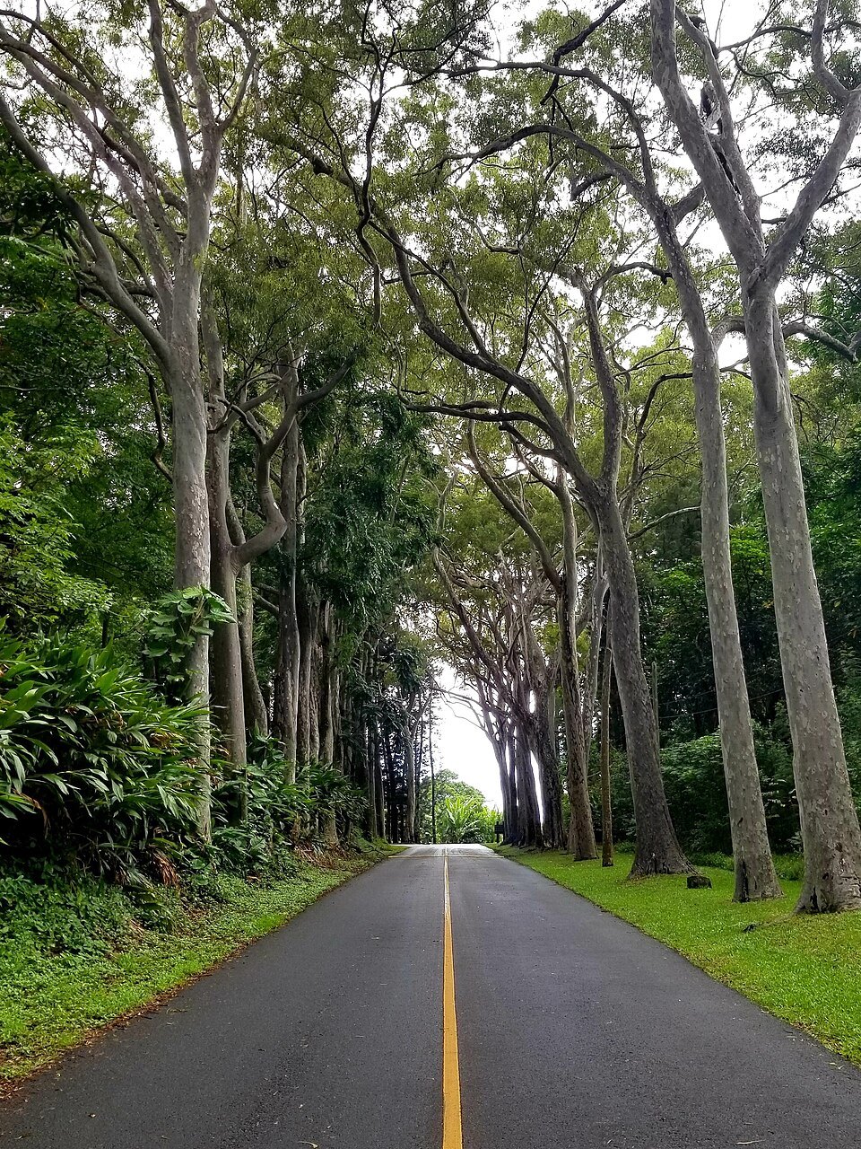
- iiThe tree canopyMonkeypods, eucalyptus and bamboo closing over the road on its upper stretches.
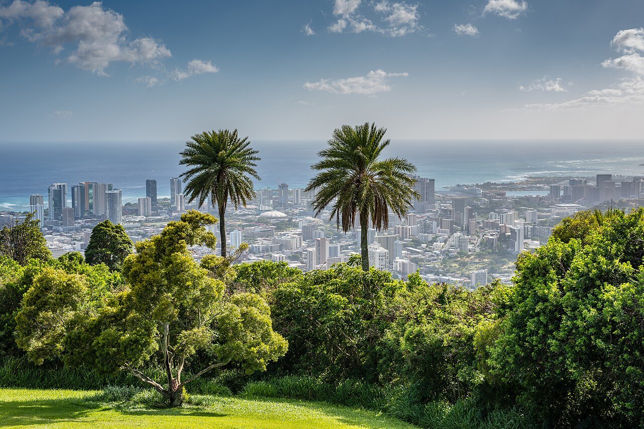
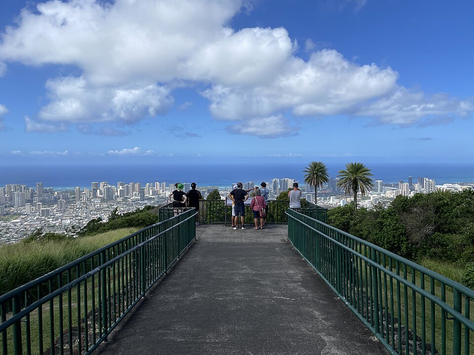
- iiiThe Puʻu ʻUalakaʻa lookoutA lookout over southern Oʻahu from Diamond Head to Pearl Harbor, with Mānoa Valley below.
- ivThe ʻUalakaʻa loop trailA one-mile forest walking loop that starts from the state wayside's picnic area.
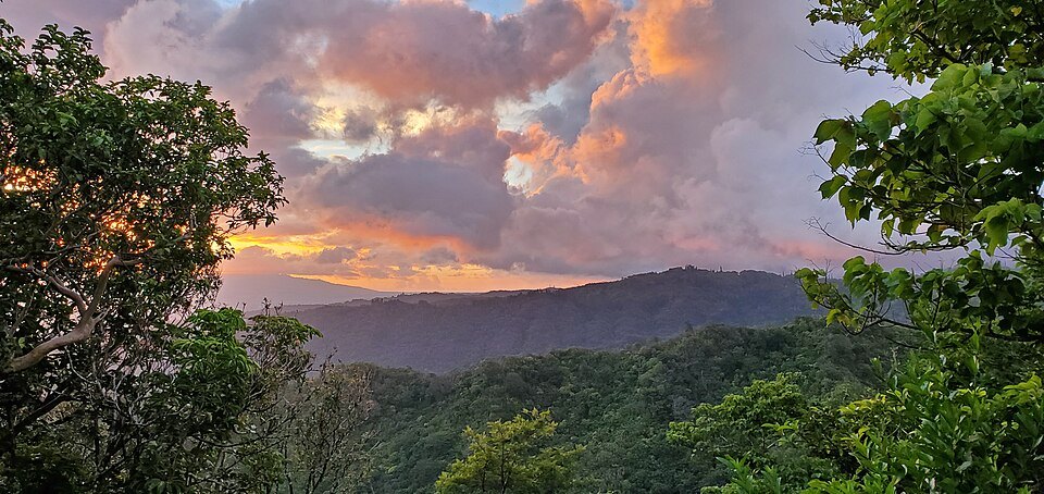
- vThe ridges beyondThe green Koʻolau ridges behind the city, seen close from the upper road.
Reading the place
Why it matters
Behind downtown Honolulu the land rises steeply into forest, and a single road climbs it. The Tantalus loop, Tantalus Drive on one side and Round Top Drive on the other, winds about six miles up and around an extinct cinder cone called Mount Tantalus, Puʻu ʻŌhiʻa in Hawaiian, and back down. On the way it passes Puʻu ʻUalakaʻa State Wayside, a forested park whose lookout gives the widest view of the city there is.
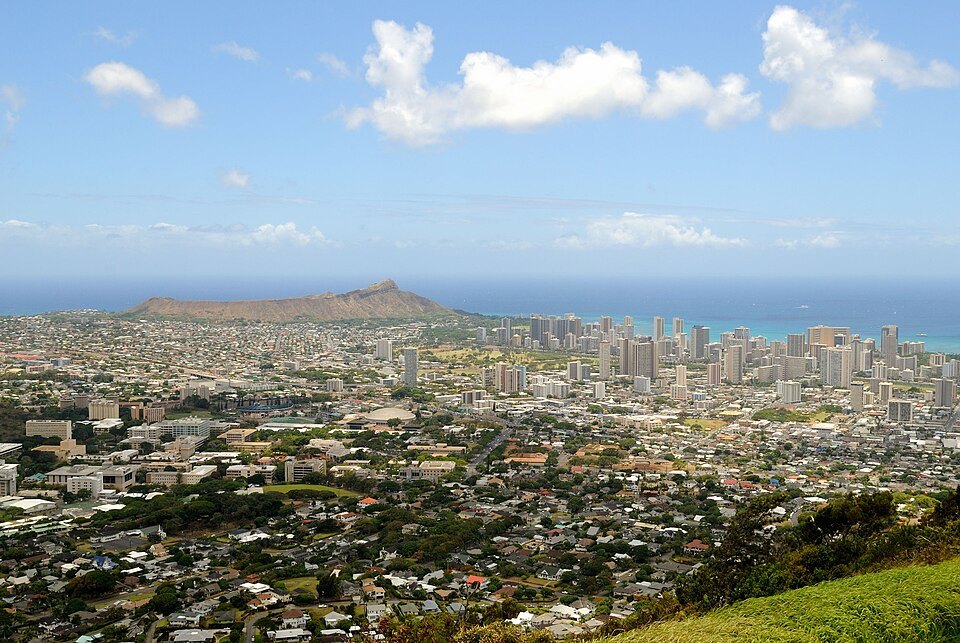
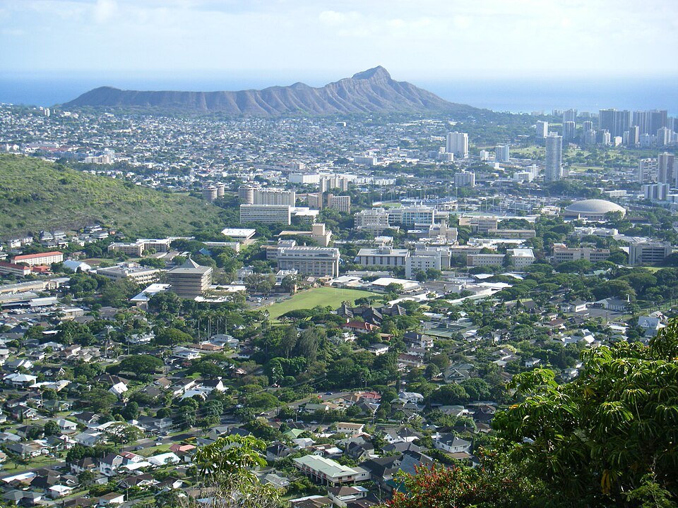
It is the easiest way to see how Honolulu fits between the ridge and the reef, and in a car it takes little time from downtown or Waikīkī. The view from here shows you the whole of this site at once: Diamond Head, the towers of Waikīkī, Punchbowl below, Mānoa Valley and its university, downtown and the harbor, and in the distance Pearl Harbor.
An old volcano
Mount Tantalus is an extinct cinder cone in the southern end of the Koʻolau Range, with a crater of its own at the summit. It formed long after the great Koʻolau volcano had died, in the same late burst of volcanic activity that made Punchbowl, Diamond Head and Koko Head, the series geologists call the Honolulu Volcanics. Much of the city below is built on its cinders.
Its English name came from students at Punahou School in the nineteenth century, who named it after Tantalus of Greek myth, condemned to reach forever for food and water that drew away from him; as the students climbed, it seems, the peak always seemed to recede. The same students named other summits here, among them Olympus, Round Top and Sugarloaf.
The Honolulu Volcanics began less than a million years ago, from thirty to forty separate vents, some of them under the sea, lined up along rifts running northeast to southwest; one of them is named the Tantalus Rift after this mountain. The last eruption in the series happened tens of thousands of years ago, and geologists do not rule out future ones.
A road for picnics
The loop began in the late 1800s as a wagon trail, popular for its views and for picnic parties. Writers of the time praised its canyons and wooded valleys, its giant eucalyptus, staghorn ferns, guava, monkeypods, shower trees and myrtle, and there was a “Half-Way House” with a corrugated roof, run by a forester, where travelers could rest. Well-off families built houses up here, in what was described as cool, picturesque seclusion, and houses still line parts of the road.
The Army also used the mountain. A fire-control station was built on Tantalus as part of the coastal artillery defenses, working with the one on Diamond Head to direct the guns of Fort DeRussy and Fort Ruger. On 4 March 1942, in a failed second Japanese raid on Oʻahu known as Operation K, bombs fell on the southern slope.
That raid is one of the stranger episodes of the war in the islands. Two long-range Japanese flying boats, refueled by submarine at French Frigate Shoals in the Northwestern Hawaiian Islands, were sent to bomb Pearl Harbor by the light of the full moon. Clouds hid the target; one pilot, lost, dropped his four bombs on the slopes of Tantalus in the middle of the night. They landed about a thousand feet from Roosevelt High School and left craters up to thirty feet across; the Army and Navy at first blamed each other for the explosions.
Puʻu ʻUalakaʻa
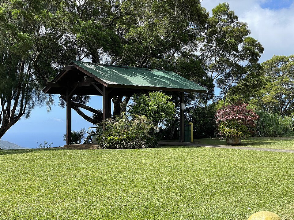
Puʻu ʻUalakaʻa State Wayside sits on a cinder cone on the lower slopes, reached from Round Top Drive. It is a forested park with picnic shelters and the start of the ʻUalakaʻa Loop Trail, a one-mile walk through the forest.
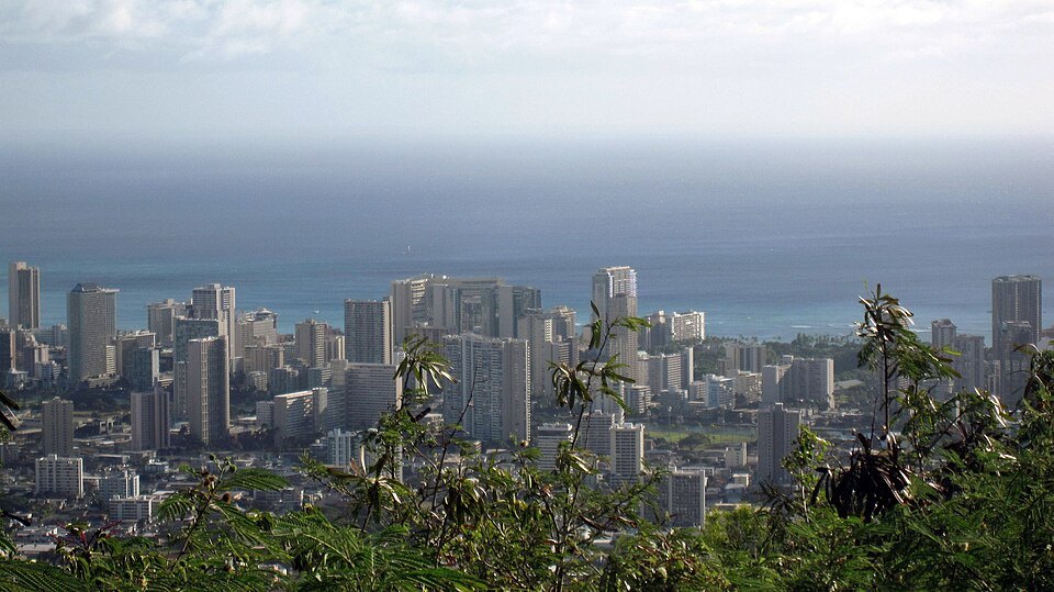
Its lookout, at the edge of the trees, gives what State Parks calls a sweeping view of southern Oʻahu from Diamond Head to Pearl Harbor. Directly below is the Mānoa neighborhood with the campus of the University of Hawaiʻi; to the left, Waikīkī's towers run out to Diamond Head; to the right are downtown, the harbor and the airport, and beyond them Pearl Harbor. On a clear day the line of the reef shows in the color of the water off Waikīkī.
Makiki below
The loop starts in Makiki, a residential district of older houses, small apartment buildings and side streets between Punahou and Pensacola streets, with Punahou School at its eastern edge. Punchbowl and Tantalus both overlook it, and the state owns the valley heights behind it, where public hiking trails climb into the forest. The drive up from Makiki Heights Drive is the usual way onto the mountain.
What you see
Driving up from Makiki, the road leaves the houses behind in a few bends and enters forest: tall trees closing overhead, patches of bamboo, and glimpses between the trunks of the city far below. On the upper loop the Koʻolau ridges stand close by, green and fluted. The road is narrow and full of blind curves, and you share it with cyclists, runners and residents; a bicycle race from the bottom to the top of the loop, the Tantalus Time Trial, has run every year since 1974.
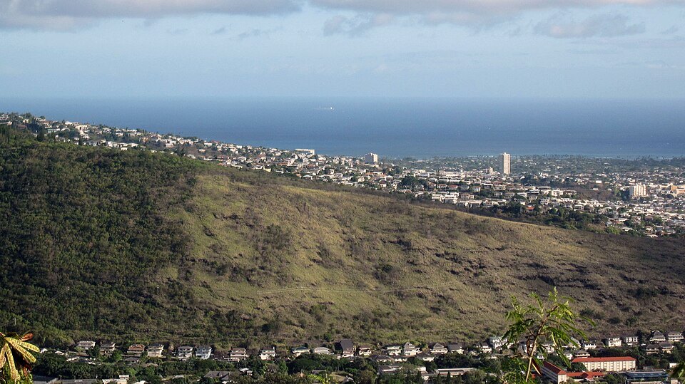
The wayside's lookout is the place to stop. It is a popular place at dusk, when the city lights come on below.
How to visit
The loop is a public road with no fee. The practical ways up are by car, taxi or tour, or on a bicycle if you have strong legs. Drive slowly, use the pullouts to let others pass, and do not stop on the bends. The state wayside has a gate and keeps its own schedule, so check it before planning a sunset visit.
Bring water and insect repellent for the trail, and good shoes, since the forest paths are often muddy. Pair it with Punchbowl below or with Mānoa Falls in the next valley.
Nearby
- NearbyPunchbowl: The National Memorial Cemetery of the PacificA national cemetery laid out in 1949 inside the crater the Hawaiians called Pūowaina, where some 53,000 veterans and their families lie, and where a memorial of 1964 records the names of 28,788 Americans missing in the Pacific wars.Read the page
- NearbyMānoa Falls and Lyon ArboretumA 150-foot waterfall at the head of Mānoa Valley, reached by a muddy forest trail from the end of a residential road, and beside the trailhead a university arboretum of 200 acres planted as a rainforest since 1918.Read the page
- NearbyDiamond Head (Lēʻahi)A volcanic tuff cone some 400,000 to 500,000 years old, named for a tuna's fin in Hawaiian and for diamonds that were never there in English, with a steep army trail of 1908 to its summit.Read the page