Home · Sights · Mānoa Falls and Lyon Arboretum
Mānoa Falls and Lyon Arboretum
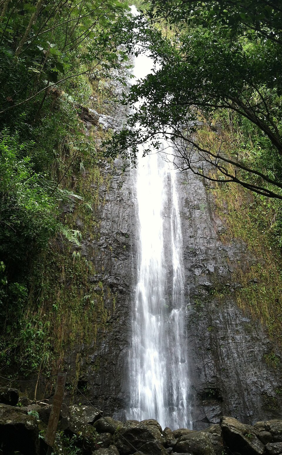
- iThe fallsA thin 150-foot waterfall dropping into a small pool at the head of the valley.
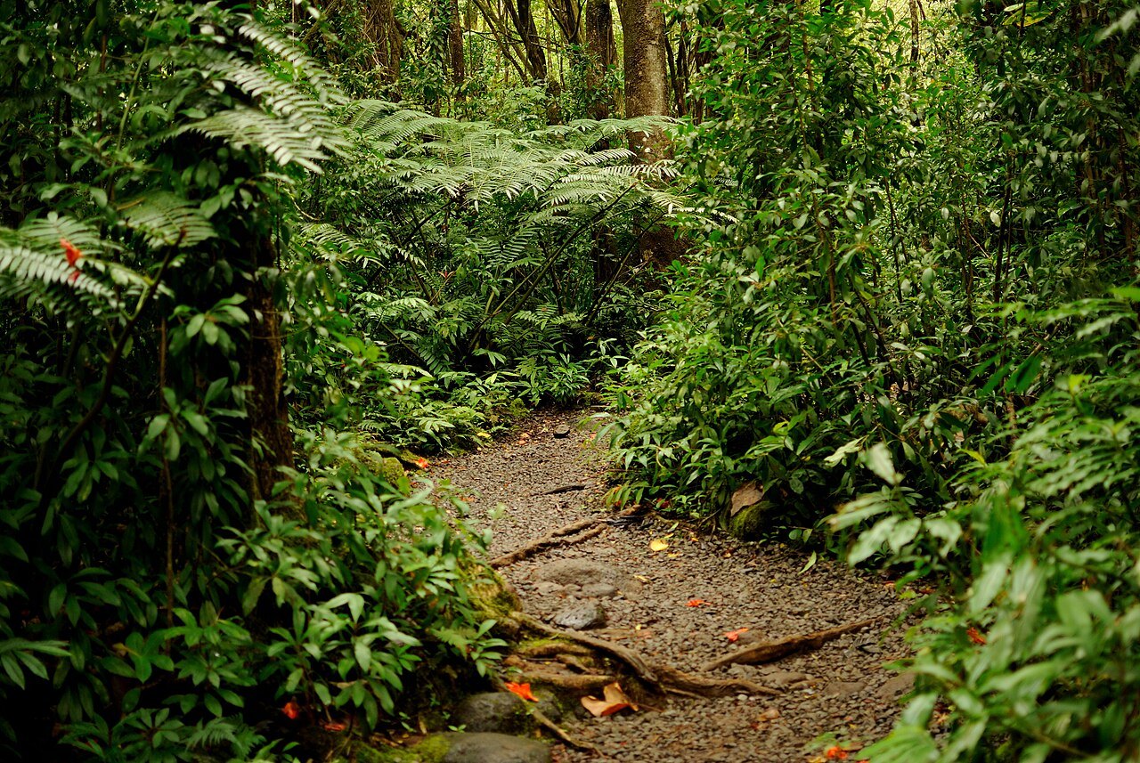
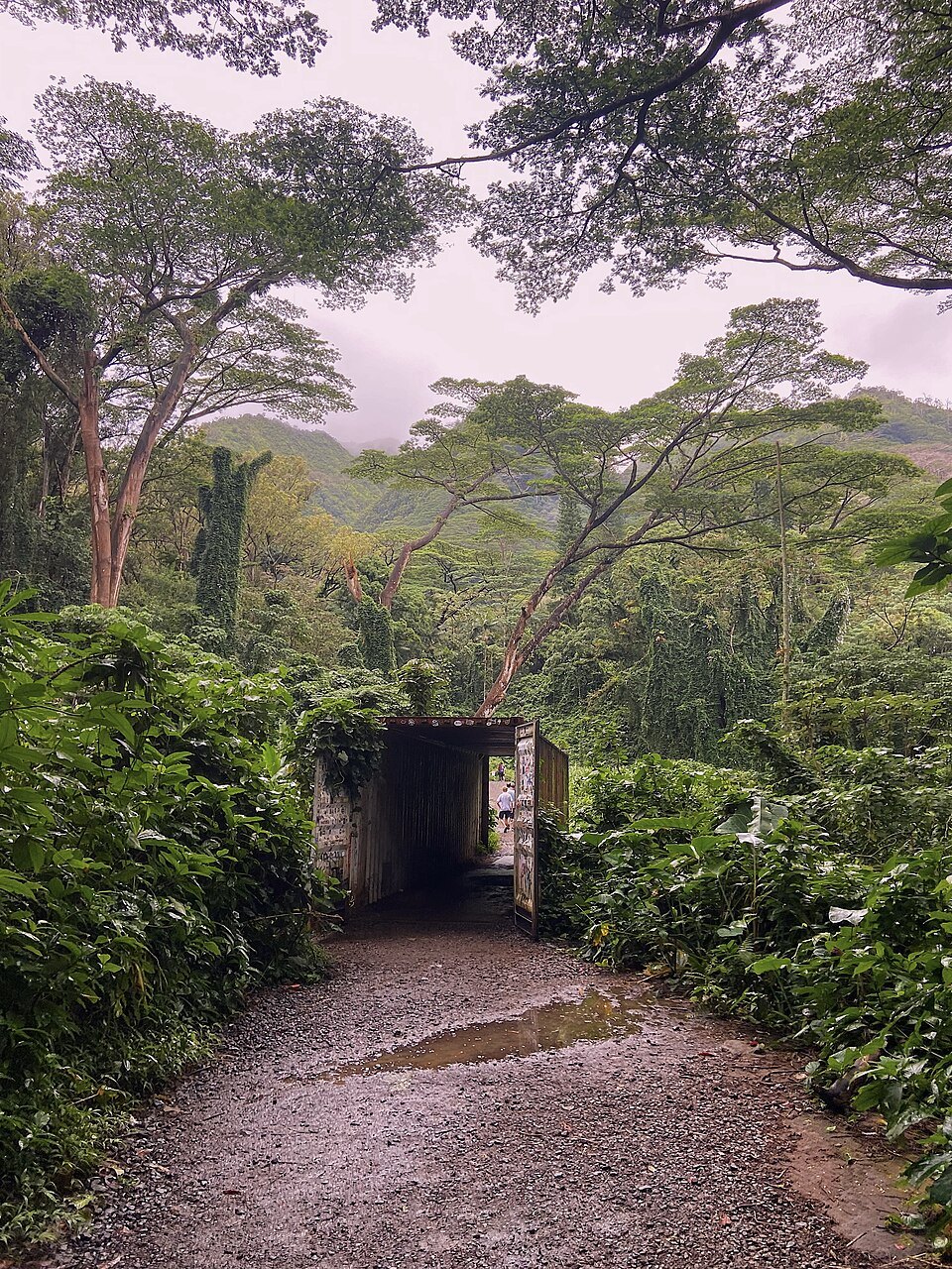
- iiThe trailA forest path from the end of Mānoa Road, rooty and often muddy, climbing gently to the falls.
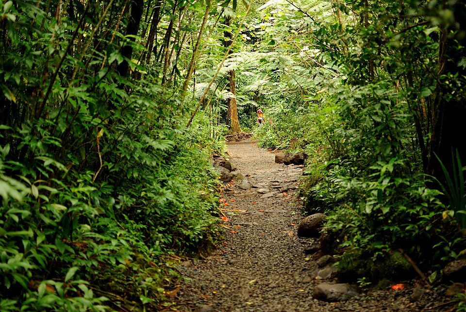
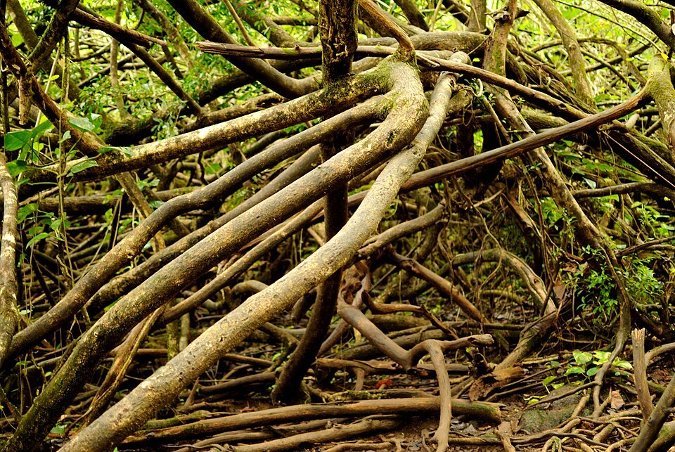
- iiiBamboo and banyanStands of bamboo, big trees and hanging vines closing over the trail as it climbs.
- ivLyon ArboretumTwo hundred acres of planted rainforest, with palms, gingers, heliconias and native Hawaiian plants.
- vThe seed bankA laboratory at the arboretum holding millions of seeds of threatened Hawaiian plants.
- viMānoa's rainbowsRain falls almost every day at the head of the valley, and rainbows are common over it.
Reading the place
Why it matters
Mānoa is a valley and a neighborhood of Honolulu, running from King Street, less than a mile from Waikīkī, up to the foot of the Koʻolau ridge. At its head, a residential road ends at the edge of the rainforest, and a short trail leads through it to Mānoa Falls, a 150-foot waterfall. It is the easiest way from the city into a Hawaiian rainforest, and it takes only part of a day.
Beside the trailhead is Lyon Arboretum, run by the University of Hawaiʻi at Mānoa, the main campus of the state university, which lies lower down the valley. The name Mānoa means thick, solid or vast in Hawaiian.
A valley of rain
The valley receives rain almost every day, even in the dry season, so its upper end is lush and green while its lower walls are often dry. That is why rainbows are so common here that the university's teams are called the Rainbow Warriors and Rainbow Wāhine. The same rain makes the trail muddy and the falls stronger or weaker with the seasons: there is often less water in the fall in the summer months, and the heaviest rain comes in the winter months.
Mānoa Stream starts at the base of the falls, runs down the valley and joins Pālolo Stream to flow into the Ala Wai Canal behind Waikīkī. It can flood: in October 2004 it overflowed and damaged homes and university buildings. Flash floods are a real risk on the trail after heavy rain.
The walk to the falls
The Mānoa Falls Trail starts at the top of the valley, near the arboretum, and climbs gradually through the forest to the falls. The walk there and back takes about an hour. The path crosses roots and rocks and, in most weather, deep mud, and the forest around it is thick with bamboo, tall trees, vines, gingers and ferns.
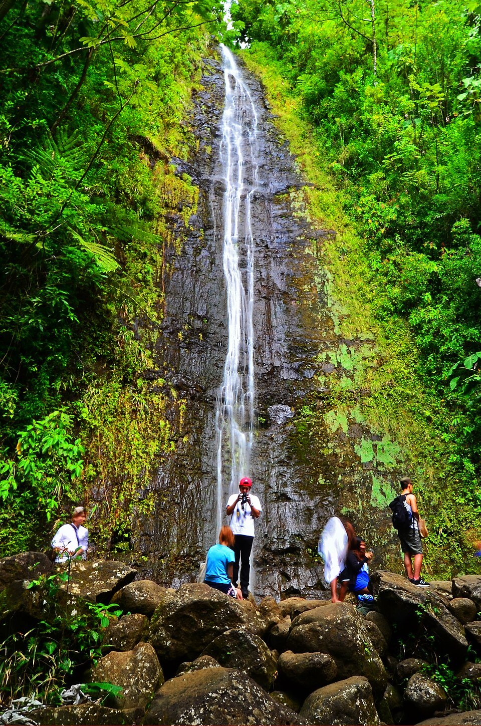
The falls come into view at the end of the trail: a narrow ribbon of water falling 150 feet down a rock face into a small pool, surrounded by forest. It is a pleasant rather than spectacular waterfall, and its setting, the green walls of the valley closing in, is the point of the walk.
Stay out of the pool
Swimming in the pool below the falls is strongly discouraged, for two reasons. Rocks fall from the cliff. And the fresh water can carry leptospirosis, a bacterial disease spread in Hawaiʻi through the urine of rats and mice, which causes flu-like illness that can be severe. Do not swim, and keep cuts covered.
Do not climb above the falls or leave the trail to reach the top. People have died falling from the top of Mānoa Falls. Stay on the marked path, turn back if the stream is rising, and do not cross flooded water.
Lyon Arboretum
The Harold L. Lyon Arboretum began in 1918, when the Hawaiian Sugar Planters' Association planted the upper valley to test trees for reforestation and restore the watershed. Its first director, the botanist Harold Lyon, planted nearly two thousand species of trees. In 1953 the association gave the land to the University of Hawaiʻi on condition that it remain an arboretum forever, and after Lyon's death in 1957 it was named for him.
Today its 200 acres are largely a planted lowland rainforest with trails and small streams, and its collection of more than 15,000 accessions focuses on palms, gingers, heliconias, bromeliads and aroids. It gives special attention to native Hawaiian plants, with native ecosystem, ethnobotanical and Hawaiian sections, and its seed laboratory, part of the Hawaiian Rare Plant Program, had banked some 33 million seeds by 2024, including 300 threatened and endangered kinds of plants.
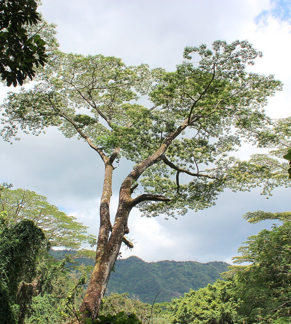
The arboretum is often confused with Paradise Park, a former theme park next to it, with trained bird shows and a treetop restaurant; they were separate places. The arboretum manages its forest actively: in 2014 it removed twelve albizia trees, a fast-growing introduced species, because they threatened the plants around them.
The valley on the way up
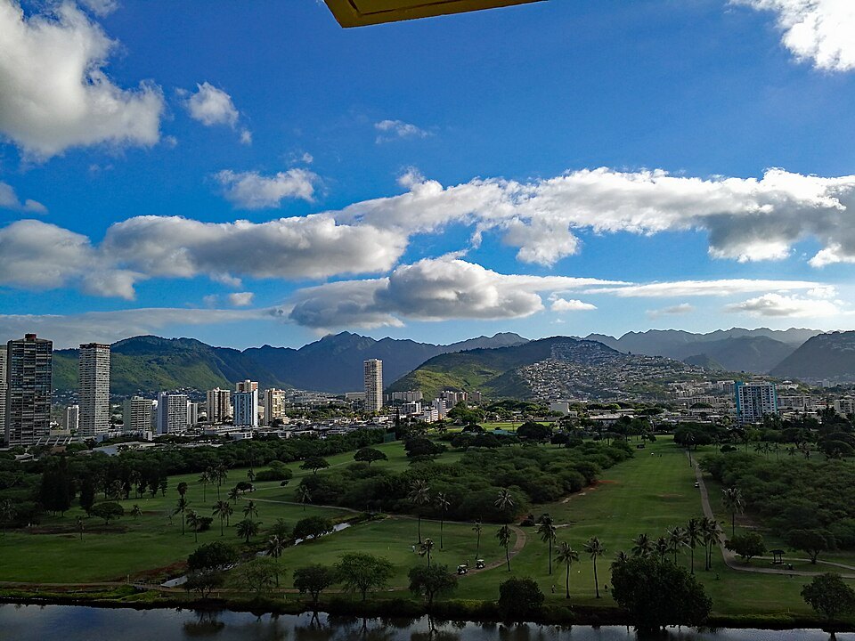
The road to the falls runs the length of the valley, and it is worth looking out of the window. Lower Mānoa is a neighborhood of private houses, most built before the 1960s, and low-rise condominiums, with the university campus spreading across the valley floor and several well-known schools, among them Punahou School and the Mid-Pacific Institute. Mānoa Marketplace, the neighborhood's shopping center, holds a farmers' market several days a week.
Higher up, the houses thin, the rain comes more often, and the road narrows between walls of green as it approaches the forest. Newer houses climb the steeper slopes on the Diamond Head side of the valley. The valley walls themselves are often dry, so the contrast between the brown ridges and the soaked green floor of the upper valley is sharp.
How to visit
Mānoa Falls is at the very top of Mānoa Road. The practical ways there are by car to the parking near the trailhead, or by bus into the valley and a walk uphill to the end of the road; see getting around. The trail itself is free.
Wear shoes with grip that you do not mind getting muddy, bring water and insect repellent, and expect rain at any time of year. Go in the morning, and keep an eye on the weather. The arboretum keeps its own days and visiting rules; check its site before combining the two. For a view down over the valley from above, see Tantalus.
Nearby
- NearbyTantalus and Puʻu ʻUalakaʻaA six-mile loop road climbing through eucalyptus and bamboo up an old cinder cone behind Honolulu, and a forested state wayside on its lower slope with a lookout over the whole south shore from Diamond Head to Pearl Harbor.Read the page
- NearbyFoster Botanical GardenThirteen and a half acres of giant trees and orchids at the edge of Chinatown, begun by a German doctor in 1853 and left to the city by Mary Foster, with a sacred fig grown from the Bodhi tree.Read the page
- NearbyPunchbowl: The National Memorial Cemetery of the PacificA national cemetery laid out in 1949 inside the crater the Hawaiians called Pūowaina, where some 53,000 veterans and their families lie, and where a memorial of 1964 records the names of 28,788 Americans missing in the Pacific wars.Read the page