Read on
The short answer
For the city itself, no. Honolulu's districts are compact, TheBus runs everywhere with more than a hundred routes, the new Skyline line reaches the airport and Pearl Harbor, and bikes and taxis fill the gaps. A car in the city mostly means traffic and the search for parking. For the rest of Oʻahu, sometimes: the windward coast and the North Shore are much easier with a car, even though the bus reaches them. So the usual advice is to go without a car for most of your stay and rent one for a day or two to leave the city.
Some links on this page are affiliate links. If you book through one we may earn a commission, at no extra cost to you. It does not affect what is recommended here, and no sight page on this site carries one.
A car for the days out of the city, and mobile data for bus times and maps.
What you can do on foot
Much of what visitors come for is walkable. Waikīkī is a narrow strip between the Ala Wai Canal and the ocean, and Kalākaua Avenue and the beach run its length to Kapiʻolani Park. Downtown, the Capitol District is a few blocks square, with the palace, Aliʻiōlani Hale, the Capitol and Kawaiahaʻo Church within sight of each other, and Chinatown and Aloha Tower a short walk further.
Between the two, the shore makes a long but pleasant walk through Ala Moana Beach Park and Kakaʻako. Walk early or late in the day, carry water and wear sunscreen; the sun is strong even when it is cloudy.
TheBus and the HOLO card
TheBus is the island's public bus system, with more than five hundred buses and over a hundred routes, and by ridership per person it is one of the most used systems in the country. From Waikīkī, buses run to Ala Moana, downtown, Chinatown and up into the valleys, and further out to many places on the rest of the island. Plan with its own trip planner, since routes change.
Pay with a HOLO card, tapped when you board. Rides within two hours count as one fare, and once you have spent the price of a day pass in a day, the rest of that day's rides are free, so you never need to decide in advance whether a pass is worth buying. Luggage is limited: under a temporary rule since 16 October 2025, one standard suitcase and one carry-on per rider. The getting around page explains more.
Why the bus works so well here
TheBus is older than its name. It grew out of Honolulu Rapid Transit, founded on the same day in 1898 that Hawaiʻi was annexed, which ran streetcars from 1901 and motor buses from 1915. After long strikes left the city without buses for weeks at a time, the city bought the private lines, and on 1 March 1971 the service was renamed TheBus. Today it carries well over a hundred thousand riders on a weekday, and residents, not just visitors, rely on it.
For a visitor, that means buses are frequent on the main corridors, drivers are used to questions, and the routes that matter most, between Waikīkī, Ala Moana and downtown, are among the busiest. Sit where you can see the stops, and ask the driver to call yours if you are unsure.
Skyline, bikes and taxis
Skyline, the elevated driverless rail line, runs from the ʻEwa plain through Pearl Harbor and the airport to Middle Street in Kalihi. It does not reach downtown or Waikīkī until its next section opens, planned for 2031, so for visitors it is mainly useful for the airport and for Pearl Harbor; see how to plan a visit to Pearl Harbor.
Biki, the city's bike-share system, has more than a thousand bikes at over a hundred and thirty stations from Iwilei to Diamond Head, a few minutes' walk apart. It suits short hops along the shore. Taxis and app-based rides are widely available and are the practical choice for Punchbowl and the Tantalus lookout, which buses reach slowly, and for late nights.
The traffic question
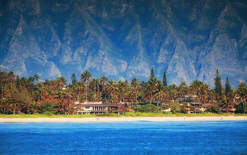
Honolulu has argued about traffic for more than half a century. In 1966 Mayor Neal Blaisdell proposed a rail line to relieve it, and it took four attempts and a public vote in 2008 before Skyline was built; it is the largest public works project in the state's history. The freeway through the city, H-1, is the spine of the south shore, and at rush hours it and the main roads are slow in both directions.
For a visitor, the practical lesson is simple: plan drives outside the rush, and do not assume a short distance on the map means a short drive.
When a car makes sense
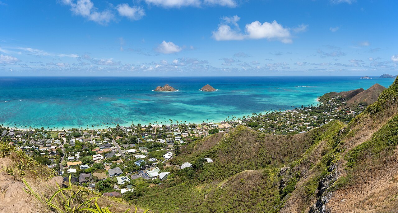
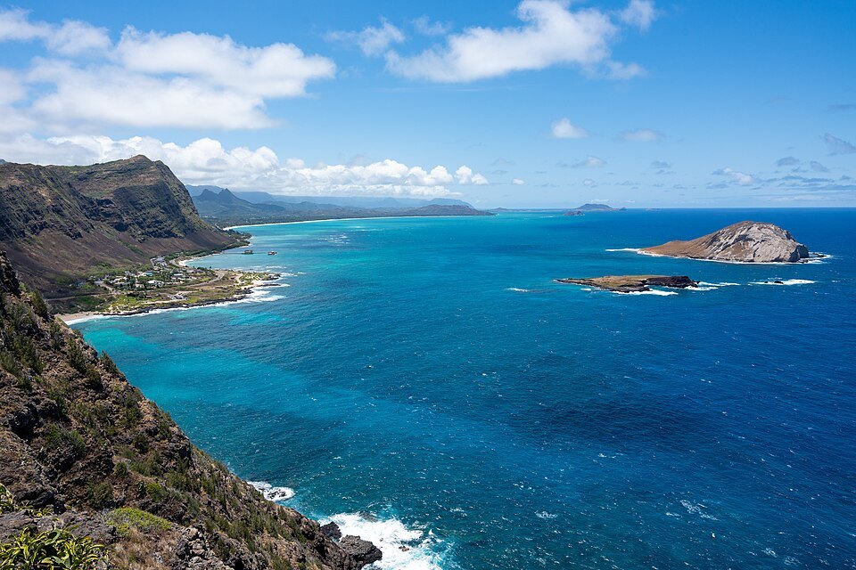
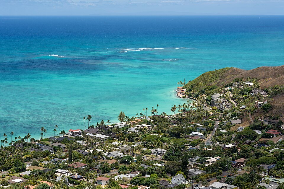
A car earns its keep on the days you leave the city. The windward coast, over the Pali Highway to the lookout above the cliffs and down to the beaches of Kailua and Lanikai, is a drive of lookouts and stops. The southeast coast to Hanauma Bay and Makapuʻu Point is similar, and the North Shore, across the middle of the island to Haleʻiwa and the big-wave beaches, is the longest of the day trips. The bus reaches all of them, but slowly, and a car lets you stop where you like. See day trips.
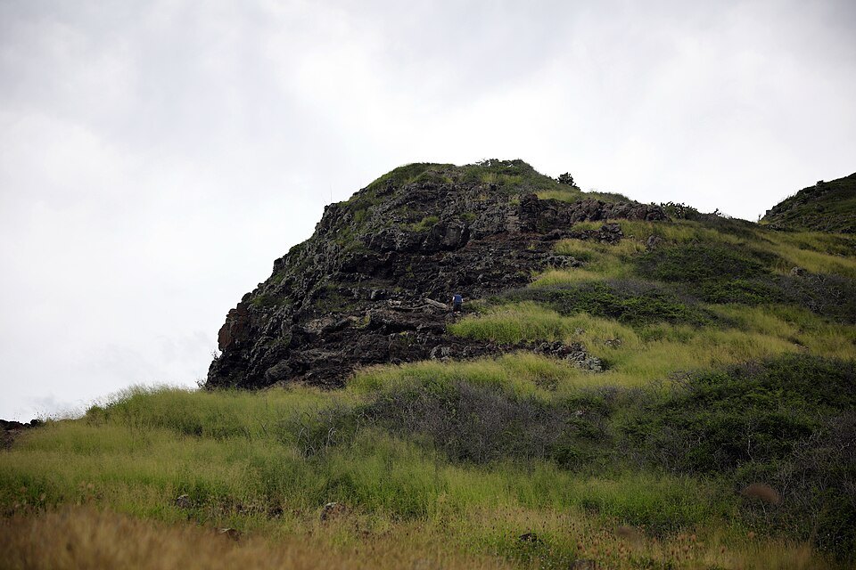
A car also helps if you are staying outside Waikīkī and downtown, in Kāhala or the valleys, or traveling with small children and gear. For everything else, it is a cost and a worry.
Renting for a day or two
You do not have to rent a car at the airport for the whole trip. Rent one for the days you need, from an agency in Waikīkī or from the airport's consolidated rental facility, opened in 2021 a short walk from Terminal 2 baggage claim, where all the companies share one building.
Check what your hotel charges for parking before you decide, since parking in Waikīkī and downtown takes planning, and give yourself extra time at rush hours, when the freeway and the main roads are slow. Drive with care on the narrow, winding roads such as the Tantalus loop, and park legally in residential neighborhoods such as Lanikai, where the streets are narrow.
The verdict
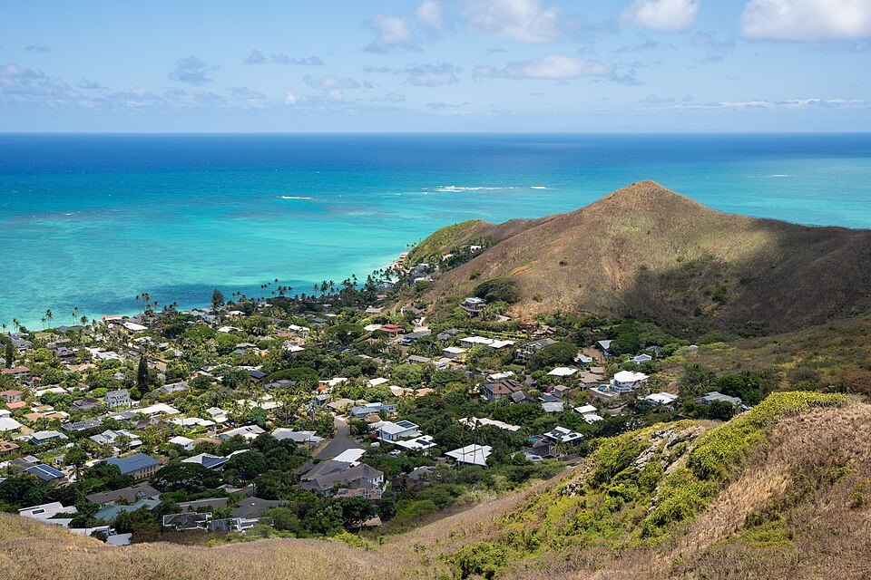
Arrive without a car, use your feet and TheBus in the city, and rent one for the island. If you are landing with heavy luggage, take a shuttle or taxi from the airport rather than renting at once; getting from the airport to Waikīkī compares the ways.
More from the journal
- Getting HereHow do you get from Honolulu airport to Waikīkī without a car?By bus, by shuttle, by taxi or ride app, or partly by the new Skyline rail line: how each way from the airport to Waikīkī works, what to do with your luggage, and which suits whom.Read the piece
- Day TripsHow do you plan a visit to Pearl Harbor from Honolulu?What the Pearl Harbor National Memorial includes, how the USS Arizona Memorial reservation works, the no-bags rule, how to get there without a car, and how to visit a war grave.Read the piece
- Diamond Head (Lēʻahi)How do you reserve and climb the Diamond Head trail?How to book a Diamond Head reservation, what the trail from crater floor to summit involves, and what to bring.Read the piece